Guide · Explainer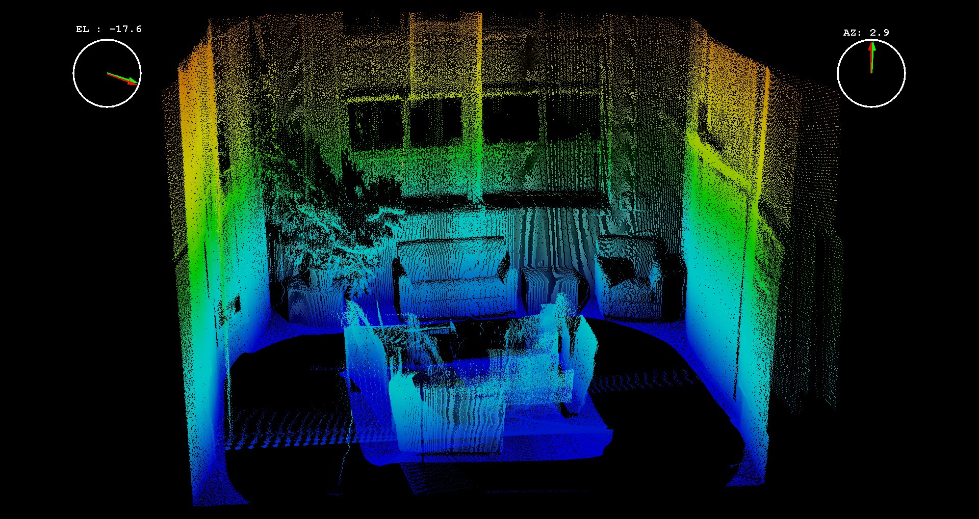
What is a point cloud?
A plain-English guide to point clouds — what they are, how a handheld LiDAR scanner captures one, and what you can do with the data once you have it.
A plain-English guide to point clouds — what they are, how a handheld LiDAR scanner captures one, and what you can do with the data once you have it.
A point cloud is a set of measured points in 3D space. Each point has a position — an X, Y, and Z coordinate — and usually a colour value sampled from a camera. Put millions of them together and the surfaces of a room, a building, or a whole site emerge as a dense, measurable 3D record of how things actually are, not how a drawing says they should be.
Unlike a photo, a point cloud carries real dimensions. You can measure a doorway, check a floor-to-ceiling height, or compare as-built conditions against design intent — directly from the data.
There are three common ways to produce one, each with different trade-offs:
Once captured and processed, a point cloud is exported to a working format the downstream software can read:
A point cloud is the foundation, not the finished product. From one capture, a team can produce as-built reference for Scan-to-BIM, a measurable backdrop for renovation planning, progress comparisons on a construction site, heritage documentation, or the geometry layer behind a digital twin. Volumet rents the scanner that captures the cloud — what you build from it is yours.
The handheld SLAM scanner that captures the point cloud — what a rental covers.
View deviceWeekly and per-project rental of the fleet — check availability for your dates.
View rentalHow the main capture methods compare on accuracy, speed, and cost.
Read guideTell us your dates, site type, and intended workflow. We confirm fleet availability, terms, and a quote.
Request rental availability