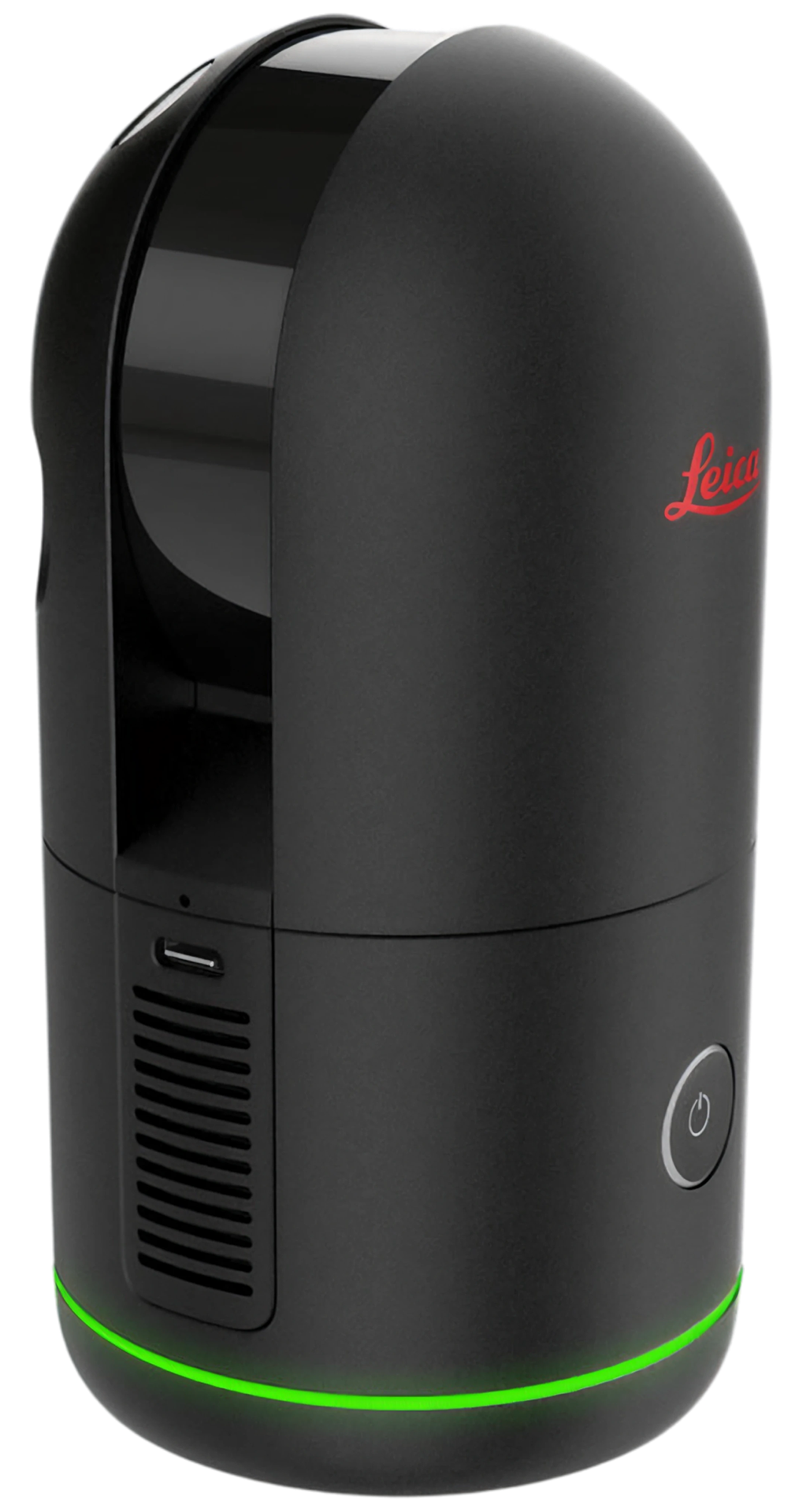
The survey-grade imaging laser scanner — 4 mm accuracy at 10 m, 680,000 pts/s, and full-dome capture in ~20 seconds. The accuracy benchmark of the fleet.
The BLK360 G2 is a non-XGRIDS addition to the fleet, available as a premium dry rental in Singapore alongside the flagship Lixel K2.
4 mm @ 10 m · 0.5–45 m range · 680,000 pts/s · 4×13 MP HDR · ~0.85 kg
Key specs
4 mm
Accuracy @ 10 m
45 m
Range · 0.5–45 m
680k
Points per second
~20 s
Full dome · 4×13 MP HDR
Why it matters
Why the Leica BLK360 G2 matters.
The accuracy benchmark
At 4 mm accuracy at 10 m, the BLK360 G2 is the precision reference point of the fleet — for projects where survey-grade tolerance is the deciding factor.
Fast for a static scanner
680,000 pts/s and a full-dome capture in around 20 seconds make dense survey-grade scanning quick to move between positions across a site.
Built for AEC & BIM
Point clouds, HDR spherical imagery, and e57 exports drop straight into survey-grade AEC, BIM, and as-built documentation workflows.
Where it fits
Workflows the BLK360 G2 is built for.
Survey-grade AEC
Precise point clouds for architecture, engineering, and construction measurement.
BIM & Scan-to-BIM
Accurate base data for modelling existing conditions and Scan-to-BIM pipelines.
As-built documentation
Dimensioned records of built environments at survey-grade tolerance.
Accuracy benchmark
The reference instrument when 4 mm precision sets the project requirement.
Specifications
Leica BLK360 G2 specifications.
Specifications depend on capture method, software workflow, site conditions, and processing. Confirm project requirements before any arrangement.
As a survey-grade instrument, the BLK360 G2 rents as a premium dry rental from S$3,300/week, with a 2-day minimum, a deposit, and SG pickup or delivery. An eligibility review is required before a rental is confirmed.
From S$3,300/week · 2-day minimum
Deposit required
Singapore pickup or delivery
Eligibility review required before rental
The BLK360 G2 is a high-value, survey-grade instrument. Each enquiry is reviewed to confirm project and handling fit before a rental is arranged.
The BLK360 G2 is a static, survey-grade tripod scanner — the accuracy benchmark; the K2 is a handheld SLAM LiDAR scanner built for fast, mixed-site capture. Pick the BLK360 G2 when 4 mm precision is the deciding factor, and the K2 when speed and coverage are.
The BLK360 G2 is available as a premium survey-grade dry rental in Singapore from S$3,300/week, with a 2-day minimum, a deposit, and SG pickup or delivery. An eligibility review is required before rental is confirmed.
Why does the BLK360 G2 require an eligibility review?
The BLK360 G2 is a high-value, survey-grade instrument. Each enquiry is reviewed to confirm the project, experience, and handling fit before a rental is arranged.
How accurate is the Leica BLK360 G2?
The BLK360 G2 delivers 4 mm accuracy at 10 m — the accuracy benchmark of the fleet — with a 0.5–45 m range, 680,000 points per second, and full-dome capture in around 20 seconds.
What outputs does the BLK360 G2 produce?
The BLK360 G2 produces dense point clouds, HDR spherical imagery, and e57 exports for survey-grade AEC, BIM, and as-built documentation workflows.
How does the BLK360 G2 compare to the Lixel K2?
The K2 is a handheld SLAM LiDAR scanner you walk through a space for fast, mixed-site capture. The BLK360 G2 is a static, survey-grade tripod scanner — slower per position but the accuracy benchmark, for projects where 4 mm precision is the deciding factor.
Need survey-grade accuracy?
Send the project details and we'll run an eligibility review and confirm BLK360 G2 availability and terms.