 Facade capture · elevation record
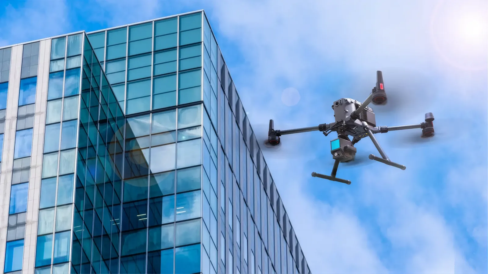 Drone facade capture
Elevation drawings, facade imagery and measured records for periodic facade inspections: supplied to the competent person before mobilisation, so the statutory inspection starts from an accurate picture of the building.
Facade capture · elevation recordDrone facade captureThe sequence is familiar. A notice arrives with a deadline. The managing agent looks for facade drawings and finds a partial set, a microfilm reference, or nothing. The competent person cannot plan a close-range regime without knowing what the elevations look like, how many facade types there are, and where access is possible. Every week spent hunting for drawings is a week off the compliance clock.
Measuring the building is the route that does not depend on an archive. A scan of the elevations produces the drawings the inspection needs, and it produces them as a record of the building as it stands rather than as it was permitted, which is the difference the report is meant to identify anyway.
BCA circular APPBCA-2025-09 (23 May 2025) gives standing approval for drone operators accredited under the SAC Inspection Body Scheme (TR 78) to fly the visual inspection, and only with the competent person notifying the Commissioner in advance, present or with a facade inspector present, and personally reviewing every image. The close-range inspection, tactile, covering at least 10% of every elevation, is untouched by that approval and cannot be done by drone. Non-accredited operators still need the Commissioner’s written approval case by case.
What that means commercially: aerial imagery can reduce how much access equipment the visual stage needs, but it cannot remove the tactile regime, and any proposal implying otherwise should be read carefully. We fly imagery as capture for the CP’s use, within that boundary.
Elevations are measured from the ground with long-range LiDAR where sightlines allow, from tripod stations where a bay needs tighter tolerance, and by drone imagery where a face cannot be seen from the ground: internal light wells, sea-facing elevations, upper storeys behind podium set-backs. The registered dataset becomes the geometry for elevation drawings; the imagery becomes the visual record keyed to those drawings.
Practical constraints we plan around: adjacent buildings and boundary lines that limit standing positions, traffic and public circulation at ground level, vegetation and awnings obscuring lower storeys, glazing and reflective cladding, and airspace restrictions where flight is proposed. Where a face genuinely cannot be captured, that appears in the coverage note rather than being quietly averaged over.
The useful handover is not a pile of photos. It is a set the CP can work in: measured elevations at a stated scale, a facade type map identifying cladding, glazing, render and balcony types by extent, imagery indexed to elevation and grid position so any photo can be located on a drawing, and clean drawing bases for defect mark-up. Where the CP has a preferred sheet convention or numbering system, we produce to it, because a deliverable that has to be redrawn before use has not saved anyone anything.
A scan, drone flight or photographic survey is not a facade inspection. The inspection is a statutory act performed by a competent person, who carries personal liability for the report. Capture does not satisfy the close-range inspection, and does not produce the report. Delivering imagery to a competent person is supplying evidence for their judgement, not substituting for it.
Full statutory detail, who may inspect, intervals, deadlines and penalties, is in our guide to the periodic facade inspection regime. For the structural counterpart, see structural inspection support.
Start with the official record: the BCA plan purchase guide covers what can be bought and how. When the plans cannot be obtained, are illegible, or no longer match the building, measurement is the remaining route: see what to do when the plan is missing or wrong. For buildings altered since approval, the measured record is the more useful document in any case, since the report has to identify deviations from what was approved.
Cost is driven by the number and height of elevations, sightline and access constraints, whether flight is required and permittable, the drawing scale and level of annotation, and how much imagery indexing the CP wants. A mid-rise block with four clear elevations is a short capture; a podium-and-tower with internal light wells is not.
Received a PFI notice without drawings? Send the notice and the address to get a quote: we scope the capture around the CP’s programme.
A notice sets a date, and the capture has to fit inside it alongside the competent person’s own programme. Working backwards is the only planning method that survives: the report needs drawings; the drawings need capture; capture needs access, possible permits for flight, and a slot the building can accommodate. Each of those has lead time, and the drawings sit in the middle of the chain rather than at the end.
Practical sequence that works. Week one: confirm what drawings exist, order anything purchasable, appoint the CP if not yet appointed. Week two: scope the capture with the CP so the survey supports their close-range selection rather than being redone for it. Weeks two to three: capture, including any permitted flight. Weeks three to five: elevation drawings, facade type map and indexed imagery delivered. The CP then runs the inspection against a measured base rather than against nothing.
Where the deadline is already tight, capture can be phased by elevation so the CP starts on the faces already documented. Tell us the notice date and the CP’s programme with your enquiry, and the quote comes back sequenced against both rather than as a standalone survey.
The cost conversation on facade work is usually about access: gondolas, mast climbers, rope access, scaffolding. Capture does not remove that cost, but it changes how precisely it is spent.
Without documentation, the close-range regime is planned on assumption: areas chosen from what can be seen from the ground, access equipment booked to cover more than it needs to, and surprises discovered at height. With measured elevations and indexed imagery, the competent person selects close-range areas deliberately, and the access provision is sized to that selection rather than to uncertainty.
Aerial imagery contributes to the visual stage within the boundary described above, and it is genuinely useful for triage: identifying which bays show staining, cracking, displaced sealant or vegetation, so the tactile inspection goes where the evidence points. What it cannot do is substitute for the tactile regime, and any saving claimed on that basis is not real.
The other cost that documentation reduces is repetition. Elevation drawings and a facade type map do not expire with this inspection cycle: they serve the next one, they serve facade repair and re-cladding design, and they serve the MCST’s records. A survey commissioned for a notice tends to be used four or five times over the following decade, which is worth remembering when comparing it against a one-off inspection expense.
Elevations, access constraints and the CP’s programme reviewed; capture method chosen per face.
Long-range LiDAR and tripod stations from the ground; drone imagery where a face cannot be seen.
Dataset registered; imagery indexed to elevation and grid position.
Measured elevation drawings, facade type map and clean mark-up bases produced.
Drawings, imagery and coverage note delivered in the CP’s conventions. The inspection remains theirs.
| Deliverable | Format | Use in the inspection |
|---|---|---|
| Measured elevation drawings | DWG · PDF | Basis for the report, mark-up and close-range area selection |
| Facade type map | DWG · PDF | Identifies cladding, glazing, render and balcony types by extent |
| Indexed facade imagery | JPEG + index PDF | Photos locatable on the elevation by grid position |
| Defect mark-up bases | DWG · PDF | Clean drawing sheets ready for the CP’s annotations |
| Registered point cloud | E57 · LAS / LAZ | Re-measurable record of the envelope as captured |
| Coverage note | States which faces and areas were captured and which could not be | |
| Plans and sections | DWG · PDF | Where the investigation extends inside: via as-built documentation |
Capture supports the inspection. The close-range tactile regime and the report itself remain the competent person’s statutory work.
Only the visual component, flown by an accredited operator with the competent person present and personally reviewing every image. The close-range inspection, tactile, at least 10% of every elevation, cannot be done by drone.
Buildings more than 20 years of age, subject to exclusions: buildings 13 m or lower are out of scope. BCA serves the notice; the owner appoints a competent person.
No. It supplies the drawings, imagery and measured records the competent person works from.
The regulations permit reconstruction of the facade's structural plans where they cannot be obtained and the Commissioner requires it. A measured survey supplies the geometry.
Usually. Internal light wells, set-back upper storeys and sea-facing faces are captured by drone imagery where airspace permits, or from neighbouring vantage points. Anything genuinely uncapturable is declared in the coverage note.
Yes if you tell us theirs. Sheet sizes, scales, grid and numbering are produced to the CP's standard so nothing has to be redrawn before use.
Either, and the scope is the same. Owners commission capture to answer BCA's document request; competent persons commission it so they can work from measured drawings rather than assumptions.
A mid-rise block with clear elevations is typically a day on site, with drawings following within one to two weeks. Complex massing, light wells or permitted flights add time.
Partly. Scaffolding and hoarding block sightlines, so capture is either sequenced with the scaffold programme or done from within the scaffold at close range. Tell us the programme and we plan around it.
The set includes a facade type map identifying cladding, glazing, render and balcony types by extent, which is what lets the competent person select close-range areas deliberately rather than by assumption.
Usually yes. Elevation drawings and a facade type map do not expire with one cycle: they serve the next one, facade repair design and the building's records, provided the envelope has not been altered in the meantime.