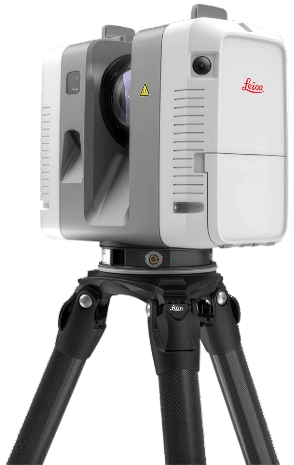
1.9 mm @ 10 m · 0.5–130 m range · 2,000,000 pts/s · 36 MP HDR · 5.35 kg
Key specs
1.9 mm
3D point accuracy @ 10 m
130 m
Range · 0.5–130 m
2M
Points per second
26 s
Full dome · without imagery
Why it matters
Why the Leica RTC360 matters.
Speed without giving up accuracy
Two million points per second and a 26-second full dome, at 1.9 mm 3D point accuracy at 10 m. Setups that used to define the length of a scanning day stop being the bottleneck.
Registration happens on site
VIS tracks movement between setups, so scans pre-register without targets and the bundle is checked in Cyclone FIELD 360 before you leave, not discovered as a gap back at the office.
Built for the long sightline
130 m of range covers atria, facades, plant halls and warehouse spans from far fewer positions than a short-range scanner can reach.
Use cases
Workflows the RTC360 is built for.
What renters capture with the RTC360, and where each workflow is covered in more depth across the site.
36 MP 3-camera HDR system · 432 MP spherical imagery
Registration
VIS targetless pre-registration · Cyclone FIELD 360
Laser class
1 (IEC 60825-1:2014) · 1550 nm, invisible
Weight
5.35 kg (nominal, without batteries)
Power
2 × GEB361 Li-Ion · up to ~4 h
Environmental
IP54 · 5 °C to +40 °C operating
Outputs
Registered point cloud · HDR spherical imagery
Export formats
E57 · LAS · PTS · RCP
Rental status
Enquire for availability and rate · eligibility review
Comparison
Leica RTC360 vs Leica BLK360 G2.
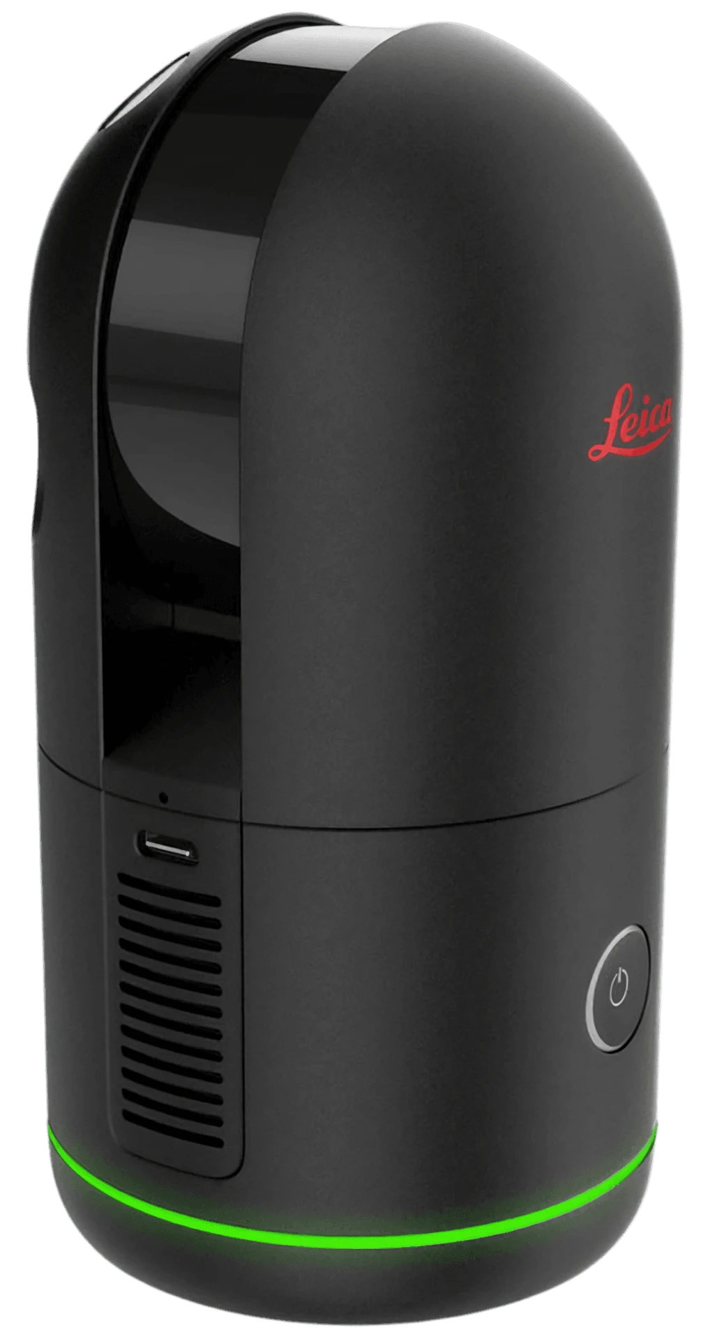
Both are Leica tripod scanners, and the choice is one of scale. The RTC360 reaches 130 m at 2,000,000 pts/s and pre-registers in the field through VIS. The BLK360 G2 covers 45 m at 680,000 pts/s but weighs around 0.85 kg against 5.35 kg, which wins in tight, contained interiors.
Where the walk itself is the fastest route, a handheld SLAM scanner beats both: swap either device on the compare page to weigh the RTC360 against the Lixel K2 or the Trimble X12. Spec bars describe typical workflow character, not lab benchmarks.
The RTC360 rents as a weekly dry rental in Singapore, with the rate quoted per enquiry. It is a high-value instrument, so an eligibility review runs before a rental is confirmed and a deposit applies.
Dry rental: you run your own registration and processing pipeline
Southeast Asia enquiries considered case-by-case
Leica RTC360, answered.
Can I rent the Leica RTC360 in Singapore?
Yes. The RTC360 is available as a weekly dry rental in Singapore, with the rate quoted on enquiry. An eligibility review is required before rental is confirmed, and a deposit applies. Send your dates and project to confirm availability.
How accurate is the Leica RTC360?
The RTC360 delivers 1.9 mm 3D point accuracy at 10 m, 2.9 mm at 20 m and 5.3 mm at 40 m, with 1.0 mm + 10 ppm range accuracy and 18-arcsecond angular accuracy. Absolute accuracy across a project still depends on registration and control.
What is VIS and why does it matter?
VIS is Leica’s Visual Inertial System. It tracks the scanner’s movement between setups so scans pre-register in the field without targets, and the pre-registered bundle is reviewed on site in Cyclone FIELD 360. It removes most of the target placement and office registration work a conventional tripod survey needs.
How does the RTC360 compare to the Leica BLK360 G2?
The RTC360 is the larger instrument: 130 m range against the BLK360 G2’s 45 m, 2,000,000 pts/s against 680,000, and tighter accuracy at 1.9 mm at 10 m. The BLK360 G2 is far lighter at around 0.85 kg against 5.35 kg. Choose the RTC360 for large buildings, plant and long sightlines; the BLK360 G2 for contained interiors where portability matters.
What outputs does the RTC360 produce?
A registered point cloud plus 432 MP HDR spherical imagery, exported as E57, LAS, PTS or RCP for Revit, AutoCAD, Cyclone and common coordination tools.
1 · What do you need?
2 · Choose a device
3 · Select your rental period
AvailableSelectedAlready rented out
July 2026
·The calendar shows indicative availability. Grayed-out dates are already rented out; we confirm final availability, deposit, and logistics when we reply to your request.