Certified topographical surveys for submissions.
Levels, contours, trees, drains and structures captured by ground and drone LiDAR, and certified by our partner Registered Surveyor so the plan is accepted by the agency that asked for it.
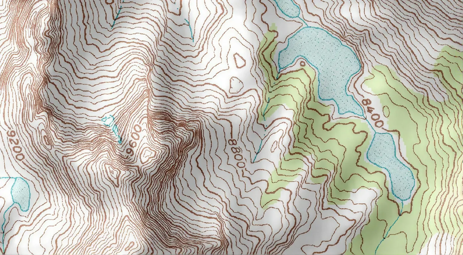 Contours and levels
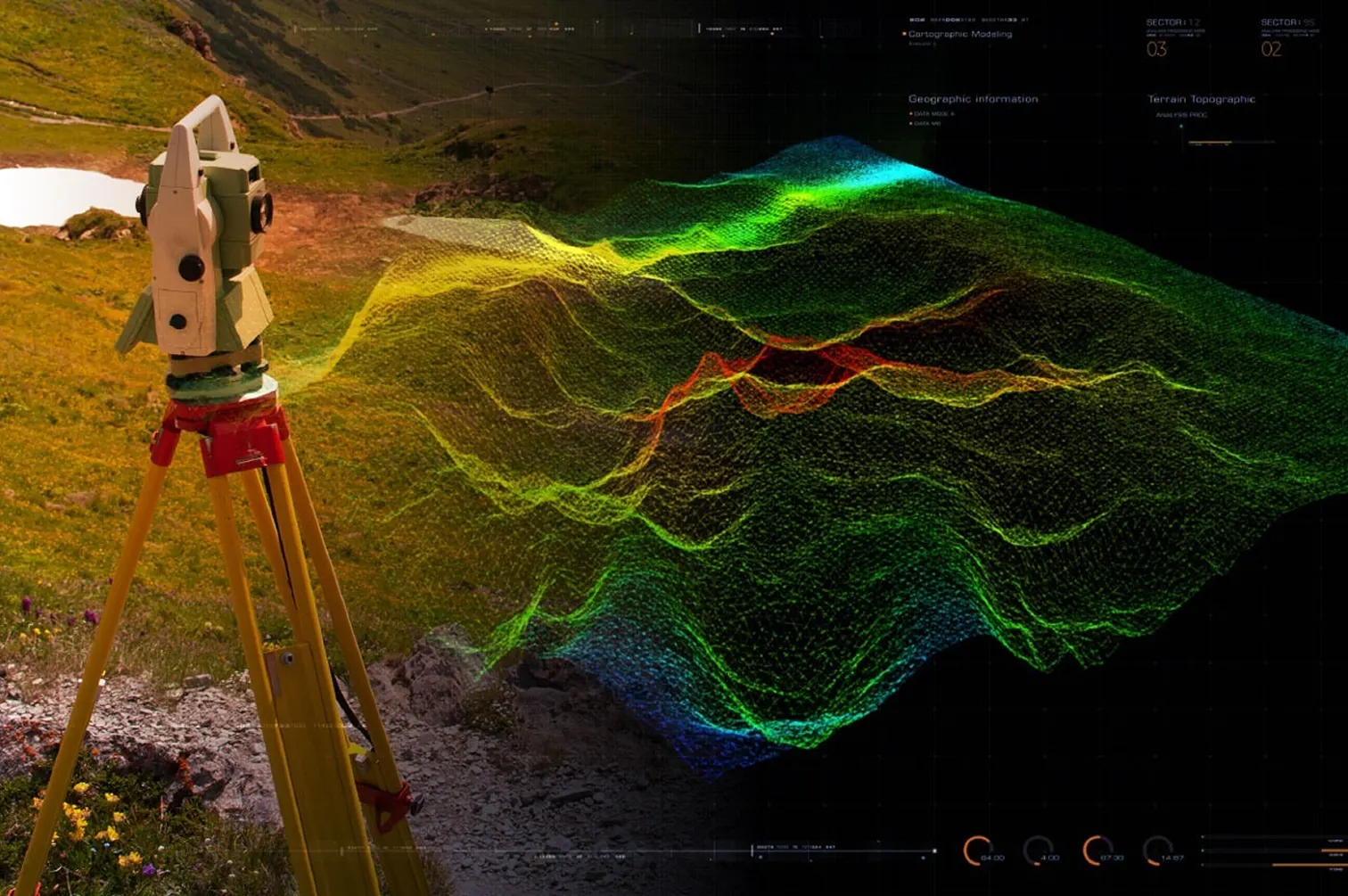 Terrain captured as a point cloud
What a topographical survey shows
A topographical survey is a plan of the site as it is: spot levels and contours, building footprints and levels, roads, kerbs and drains, walls and fences, trees with their girth and spread, lamp posts, manholes and other visible services, all on Singapore’s SVY21 coordinates and Singapore Height Datum. It is the base every design, earthworks and drainage decision on the site starts from.
When it must be certified
- URA development applications on sloping land need a survey plan showing the existing contours at 1 metre intervals or spot levels.
- URA earthworks applications need a survey or topographical plan showing the existing terrain, contours at 1 metre intervals, levels, water courses and trees on the lot and the adjacent lots.
- NParks development submissions need a survey plan surveyed less than two years before the application and endorsed by a qualified surveyor. Seetree survey.
- Works in LTA’s Railway Protection Zone: the Code of Practice for Railway Protection requires the topographic survey to be conducted under the direct supervision of the registered surveyor, on SVY21 and Singapore Height Datum.
Agencies and consultants generally expect a survey plan for a submission to be certified by a Registered Surveyor. When the plan is for a submission, certify it once rather than survey twice.
How we capture it
We capture open ground by drone LiDAR, which sees through gaps in vegetation to the ground below, and fill the areas a drone cannot reach, under canopy, along drains, beside buildings, with handheld and tripod scanning. The result is a dense point cloud rather than a grid of spot heights, so the contours follow the ground and any extra level the designer needs later is already in the data. The Registered Surveyor establishes the control, checks the capture and certifies the plan.
Certified or measured?
Not every topographical survey needs a certificate. For design, feasibility, volumes and internal planning, an uncertified measured land survey gives the same geometry at lower cost. Choose certified when the plan goes to an agency or into a contract; choose measured when it stays inside the project team.
Volumet and the Registered Surveyor
Volumet is not a Registered Surveyor. The statutory part of this work is carried out, signed and lodged by a Registered Surveyor registered under the Land Surveyors Act, from a surveying firm we partner with. We capture and measure, run the job and give you one point of contact and one quote.
Cost drivers
Price follows site area, vegetation cover, the density of features to be picked up, whether trees need to be tagged and measured, access for the drone, and which agency the plan is for. Send the site plan and the purpose to get a quote.
Captured by LiDAR, certified for submission.
Which agency, which scale, which features; site extent and adjacent lots agreed.
The Registered Surveyor establishes SVY21 and SHD control on site.
Drone and ground capture of terrain, features, trees and structures.
Levels, contours and features drawn to the submission's requirements.
The Registered Surveyor checks and certifies the topographical plan.
Priced per site.
Our drone and ground LiDAR capture and our partner Registered Surveyor's certification, in one quote. We come back within one business day.
- Site plan and extent
- Which agency the plan is for
- Whether trees must be measured
- Site area
- Vegetation cover
- Density of features to pick up
- Drone access and airspace
An open landed plot is a short survey; a vegetated slope with adjacent lots and trees to tag is not.
This one depends on the site, so we price it from the details. Send them and we come back within one working day.
Priced case by case once we have the site details.
What the project receives.
| Deliverable | Prepared by | Use |
|---|---|---|
| Certified topographical plan | Partner Registered Surveyor | For URA, NParks, LTA or contract submission; DWG and PDF |
| Contours and spot levels | Volumet | At the interval the submission asks for, typically 1 m |
| Terrain model | Volumet | DTM for earthworks and drainage design |
| Registered point cloud | Volumet | Every level, re-measurable later; E57 or LAS |
Submission requirements from URA’s development control forms, NParks’ Guidelines on Greenery Provision and Tree Conservation for Developments and LTA’s Code of Practice for Railway Protection. Check the agency’s current checklist before a submission.
Related work, services and guides.
Common questions.
What is a topographical survey?
A plan of the site as it is: levels and contours, buildings, roads, drains, walls, trees and visible services, on SVY21 coordinates and Singapore Height Datum.
When does a topographical survey need to be certified?
When it goes to an agency or into a contract: URA development applications on sloping land and earthworks applications, NParks development submissions, and works in LTA's Railway Protection Zone all rely on a survey plan certified or endorsed by a surveyor.
Is Volumet a Registered Surveyor?
No. Volumet captures the site by LiDAR and drafts the plan; a Registered Surveyor from our partner surveying firm establishes the control and certifies it.
How recent must the survey be for NParks?
NParks asks for a survey plan surveyed less than two years before the application, endorsed by a qualified surveyor. It does not apply to A&A proposals.
What contour interval do you use?
Whatever the submission asks for. URA's forms ask for contours at 1 metre intervals or spot levels on sloping land and for earthworks.
Can a drone survey sites with trees?
Largely yes. Airborne LiDAR records ground returns through gaps in the canopy, and areas under dense cover are filled in with ground scanning.
Do I always need a certified survey?
No. For design, feasibility and volumes, an uncertified measured land survey gives the same geometry for less.
Which datum do you use?
SVY21 for position and Singapore Height Datum for levels.