Pre-condition surveys: a record of the neighbours, before the first pile.
Pre-construction condition surveys, also called pre-condition or dilapidation surveys, of every building in BCA’s survey zone: located defect photos, crack records and a LiDAR baseline, so a damage claim is settled by evidence.
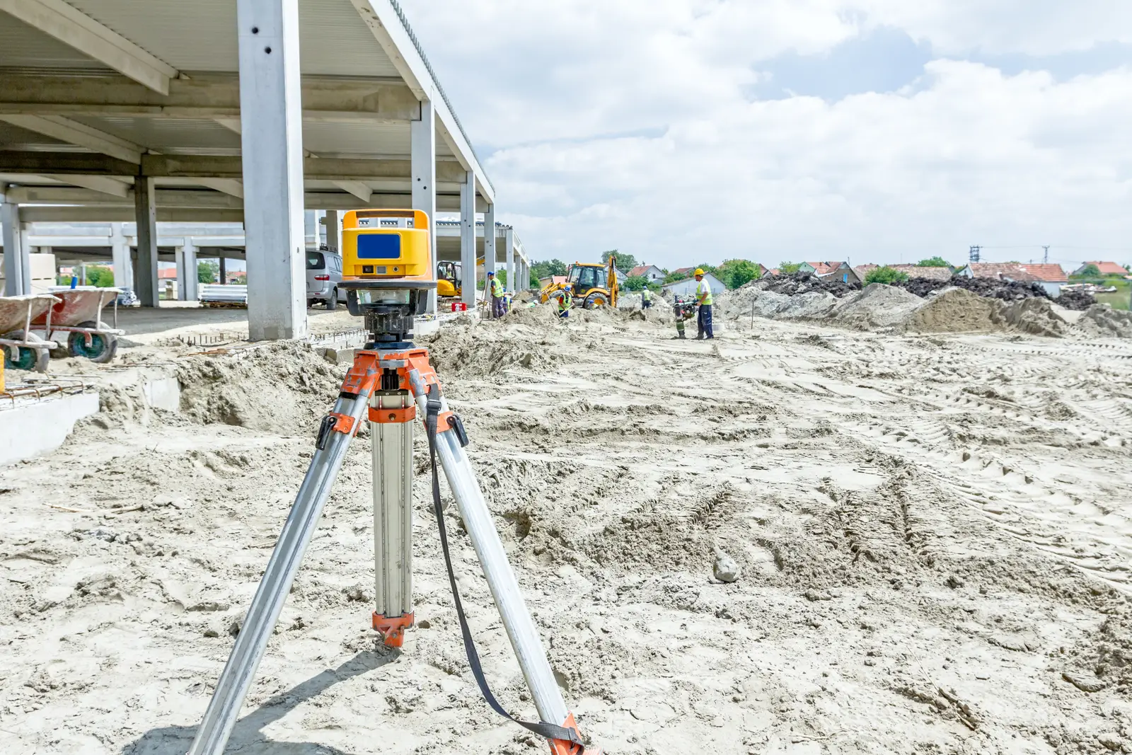 Before works start · baseline
 Zone plan agreed with the QP
What the survey is for
Piling, excavation and demolition shake the ground, and the buildings around a site move with it. When a neighbour finds a crack six months into the job, the question is always the same: was it there before? A pre-construction survey answers it with a dated, located record of every existing crack, spall, stain and sign of movement, made before the works start. Without one, the builder is arguing from memory against a homeowner’s photographs.
The same survey goes by three names in Singapore: pre-construction survey in BCA’s guidelines, pre-condition survey on most tender documents, and dilapidation survey in insurers’ and lawyers’ letters. The work is identical.
What the regulations require
The Building Control Regulations require that where any demolition, piling or foundation works, tunnelling works, or site formation works including excavation are carried out, the builder must, before commencing them, carry out a pre-construction survey to establish the condition of existing buildings and structures adjacent to or in close proximity to the works.
The survey then feeds the engineering. The QP reviews the report, identifies any pre-existing structural defect in the buildings surveyed, and, as part of the impact assessment required under Regulation 33, specifies on plan the preventive and protective measures to be taken. For landed development BCA also expects the builder to inform the neighbours and obtain written consent for access where it is needed.
BCA’s minimum survey zones
BCA published minimum zones after finding that damage from some projects reached beyond the zone builders had surveyed. They are minimums: the QP can and often does ask for more.
| Works | Development | Minimum zone |
|---|---|---|
| Demolition | Landed development | 10 m from the building |
| Demolition | Building up to 5 storeys | 35 m from the building |
| Demolition | Building over 5 storeys | 50 m from the building |
| Piling, non-displacement | Landed | 10 m from the site boundary |
| Piling, displacement | Landed | 20 m from the site boundary |
| Piling, non-displacement | Non-landed | 40 m from the site boundary |
| Piling, displacement | Non-landed | 60 m from the site boundary |
| Excavation | Landed development | 15 m from the site boundary |
| Excavation, good soils | Basement or underground space | 30 m or 3H |
| Excavation, soft soils | Basement or underground space | 60 m or 6H |
| Excavation, soft soils with fluvial sand or peat | Basement or underground space | 90 m or 9H |
H is the maximum excavation depth, including localised pits, and where two values are given the larger applies. A basement 12 m deep in marine clay therefore needs a survey zone of 72 m, not 60 m. Where one builder does all three types of works, it surveys the largest of the zones.
What we record
- Every existing defect, located. Each crack, spall, stain, gap or displaced tile is photographed with a scale in frame and a reference number, and marked on a plan or elevation of that property so it can be found again.
- Crack records. Crack widths measured and noted against the photo, which is what a later comparison needs.
- A LiDAR baseline. Facades, boundary walls and the ground between them scanned with handheld or tripod LiDAR. The point cloud is a measurable record of where every surface was, so a later claim of tilt or settlement is tested by comparing two scans.
- External and internal. Every property is surveyed from outside, and inside wherever the owner gives access. Roofs and elevations that cannot be reached from the ground can be flown by drone where the airspace allows.
When access is refused
Owners are not obliged to let a contractor into their home, and some will not. BCA’s guidelines set out what the builder does then: survey the exterior face of the property, and keep records of the attempts to contact the owner, for example registered mail, or of the owner’s refusal. Our report carries that access log for every property, so a refused interior is documented as refused rather than silently missing.
Condition surveys near an MRT line
Works inside LTA’s Railway Protection Zone carry a second survey on top of BCA’s. Under the Code of Practice for Railway Protection (2024 edition), the developer submits a pre-condition survey report of the affected rapid transit structures, with a photographic record, and on completion, or at intermediate stages LTA directs, a condition survey compares every defect against it. Anything the development caused is made good at the developer’s cost, to LTA’s satisfaction.
The code is specific about who does what. The physical survey of the rapid transit structures is carried out by a registered land surveyor, and the report is endorsed by an independent person with the right qualifications, such as a professional engineer or building surveyor. For critical works such as tunnelling, piling or basements within the first reserve of an underground line, a registered surveyor also certifies a geometric survey of the tunnel: at least six points around each bored tunnel ring, sections through cut-and-cover boxes, the cross-passages and both rails.
Our part is the capture. A LiDAR scan of a tunnel section, station box or viaduct, taken during an approved access window, records the whole lining rather than six points, alongside the photographic record the report needs. We work with the registered surveyor and the endorsing engineer on the team, and scan the neighbouring buildings in BCA’s zone in the same programme, so one contractor holds both baselines.
The post-condition survey
The pre-construction record earns its money at the end of the job, or the day a complaint arrives. In the post-condition survey, sometimes called the post-construction survey, the same properties are resurveyed with the same method, and each defect is compared against the baseline: unchanged, widened, or new. Because the baseline includes a point cloud, the comparison covers geometry as well as appearance. Where a site has several builders in sequence, a survey between stages lets the developer and the QP agree any rectification before the next type of works begins, which is what BCA’s guidelines ask for.
What we never claim
A condition survey records what exists; it is not a structural assessment. The QP decides whether a defect is structural and what protective measures the works need. We supply the record the QP and the builder rely on, and where a defect looks structural we say so in the report and leave the engineering judgement to the engineer.
For a building that needs a statutory engineering inspection rather than a condition record, see structural inspection support.
Cost drivers
Price follows the number of properties and units in the zone, how many owners give internal access, building height, and whether the LiDAR baseline covers every facade or only the ones nearest the works. A row of terrace houses beside a landed rebuild is a small survey; a condominium estate beside a two-level basement in soft ground is not.
Send the site plan, the type of works and, for excavation, the maximum depth and the soil report to get a quote. We draw the zone first and price the properties inside it.
Zone first, then every property in it.
Survey zone drawn from BCA's guidelines and the works; every property in it listed.
Owners contacted for consent, with every attempt and refusal logged.
Defects photographed and located, cracks recorded, facades and boundary walls scanned.
One report for each property, with the defect schedule and marked-up plans.
Reports to the QP for review and to the owners; baseline kept for the post-construction survey.
Priced per zone.
A pre-construction survey depends on the properties inside the zone, so we draw the zone first and price what is in it. We come back within one business day.
- Site plan
- Type of works
- For excavation: maximum depth and the soil report
- Number of properties and units in the zone
- How many owners give internal access
- Building height
- LiDAR on every facade, or only the nearest
A row of terrace houses beside a landed rebuild is a small survey; a condominium estate beside a two-level basement in soft ground is not.
This one depends on the site, so we price it from the details. Send them and we come back within one working day.
Priced case by case once we have the site details.
What the builder receives.
| Deliverable | Format | Use |
|---|---|---|
| Condition report, one per property | Issued to the owner and reviewed by the QP | |
| Defect schedule | PDF · XLSX | Every defect numbered, described, measured and photographed |
| Marked-up plans and elevations | PDF · DWG | Locates each defect on the property |
| Registered point cloud | E57 · LAS / LAZ | Measurable baseline for the post-construction comparison |
| MRT structure scans | E57 · LAS / LAZ | LiDAR and photos for the registered surveyor’s LTA condition and geometric surveys |
| Access log | Contact attempts, consents and refusals, property by property | |
| Survey zone plan | The zone drawn from BCA’s guidelines, with every property inside it |
Survey zones from BCA’s Guidelines on Preconstruction Survey (26 February 2016). The QP may specify a larger zone for a particular project.
Related work, services and guides.
Common questions.
What is a pre-construction survey?
A dated record of the condition of the buildings and structures around a site, made before works start, so any damage later can be told apart from defects that were already there. It is also called a pre-condition survey or a dilapidation survey.
Is it compulsory in Singapore?
Yes, where the works include demolition, piling or foundation works, tunnelling, or site formation including excavation. The Building Control Regulations require the builder to carry out the survey before commencing those works.
How far out do we have to survey?
BCA's guidelines set minimum zones by the type of work: 10 m for landed demolition up to 50 m for demolishing a building over five storeys, 10 m to 60 m for piling depending on pile type and development, and 15 m for landed excavation up to 90 m or nine times the excavation depth for basements in soft soils with fluvial sand or peat.
What if a neighbour refuses access?
Survey the exterior face of the property and keep the records: the attempts to contact the owner, for example registered mail, or the owner's refusal. BCA's guidelines ask for exactly that, and we log both in the report.
Who commissions the survey and who reviews it?
The builder commissions it, usually the main contractor or the piling or demolition contractor. The QP reviews the report, identifies pre-existing structural defects and specifies protective measures in the impact assessment.
Do the neighbours get a copy?
They should. BCA's guidelines expect each builder to distribute the report to the owners of the surrounding properties within its survey zone. We produce one report per property so each owner receives only their own.
Why add LiDAR to a photo survey?
Photos record what a crack looks like; a point cloud records where every surface was. If a wall is later said to have tilted or a slab to have settled, the before and after scans can be compared by measurement rather than by argument.
Do you do the post-condition survey too?
Yes. The post-condition (post-construction) survey resurveys the same properties with the same method at completion, or whenever a complaint is raised, and compares each defect against the baseline.
Do you survey MRT tunnels and stations for LTA?
As part of the survey team, not in place of it. LTA's Code of Practice for Railway Protection requires the physical survey of rapid transit structures to be carried out by a registered land surveyor and the condition survey report to be endorsed by an independent PE or building surveyor. We supply the LiDAR capture and photographic record they work from.
Several contractors work on our site. Who surveys?
Where one builder does all the works, it surveys the largest of the minimum zones. Where demolition, piling and excavation have different builders, the main project QP instructs the first builder appointed to survey the largest zone.
How is it priced?
By the number of properties and units in the zone, how many allow internal access, and whether the LiDAR baseline covers every facade or only the ones closest to the works. Send the site plan and the type of works for a quote.