 Tour capture · Matterport Pro3
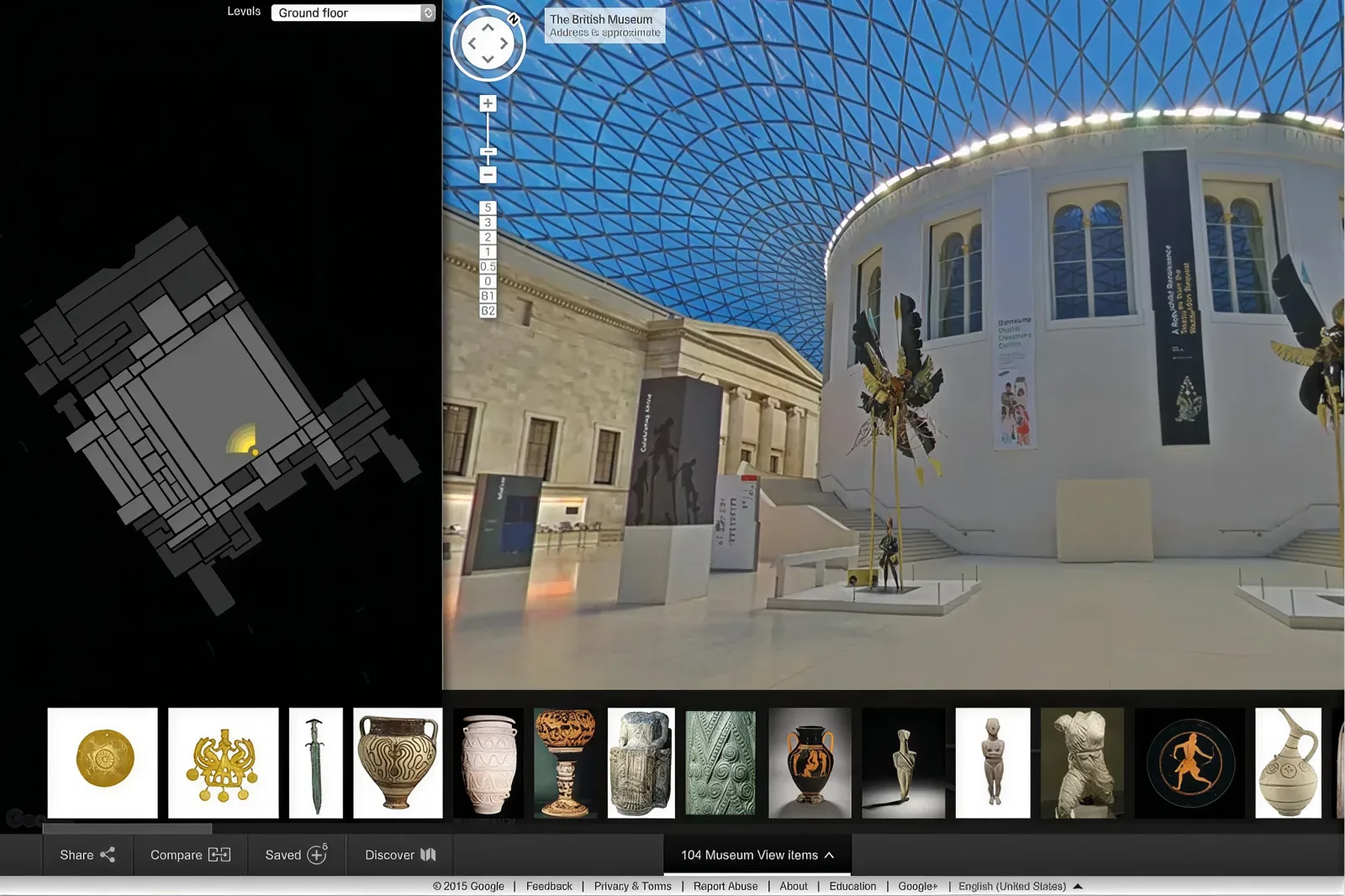 Virtual tour · floor plan
Pro3 capture of homes, offices, venues and facilities, delivered as a hosted walkthrough, with ownership, hosting and the subscription question settled in writing before we capture.
Tour capture · Matterport Pro3Virtual tour · floor planA hosted Matterport walkthrough captured on the Pro3, with tags, floor plan views and share links; plus exportable assets, E57 point cloud, floor plan images, walkthrough video, that outlive any subscription. Tours are presentation assets: the Pro3 captures at ±20 mm @10 m, fine for space planning, not for setting out. Where measurement matters, the scanning service runs alongside the same visit.
Delivered with the tour: the embed code for your own site, share links with the access level you want, and the exports in a folder you keep. Nothing in the deliverable requires you to come back to us to use it.
Matterport tours live on a cloud subscription, and a tour whose hosting lapses goes offline. Before capture we agree, whose Matterport account hosts the tour (yours from day one, or ours with agreed hosting), who pays, and what happens at the end. The exportable assets are yours either way. This question surprises buyers often enough that we answer it in the quote, not after delivery.
The two arrangements in plain terms. Your account: you hold the subscription, the tour sits in your workspace from the first upload, you control links, users and renewal, and we simply deliver into it: the cleanest option for owners and agencies who will keep tours long term. Our account with agreed hosting: we host for a stated period at a stated cost, useful for a single campaign or a short-term listing, with a transfer path written into the quote so the tour can move to you later rather than being stranded.
The Pro3 is a LiDAR camera and the tour includes a measurement tool, which is genuinely useful for furniture planning, fit-out feasibility, checking whether a rack or a piano fits, and giving contractors an approximate sense of a space. Presentation-grade means exactly that: ±20 mm at 10 m under good conditions, degrading with distance and difficult surfaces.
It is not a basis for setting out, fabrication, statutory measurement or a dispute. Where a dimension carries consequence, capture survey instruments on the same visit and measure in the point cloud: the tour then becomes the way people navigate to the measurement rather than the source of it.
The Pro3 works from static positions, so capture is a sequence of scan points through the space rather than a walk. A typical residential unit is under an hour; an office floor or venue is a half to full day depending on area and room count. Spaces should be presented as you want them seen: tidy, lit as normal, blinds set, screens off or on deliberately. People are removed from frame rather than blurred, so occupied offices are captured out of hours or floor by floor.
What slows it: heavy mirrors and glass, very dark rooms, tight cluttered storage, and spaces where furniture must be moved between scans. Tell us about any area you would rather not include and it is excluded before capture rather than edited afterwards.
Tags carry the value for facilities and equipment documentation: a labelled point in the tour holding text, a photo, a PDF or a link: asset numbers, maintenance records, specification sheets, safety notes. We build the tag structure to your naming convention so it fits the systems you already use. Floor plan views are generated from the capture and are useful as navigation and as marketing collateral; they are schematic, not measured drawings, and where you need drawings the as-built service produces them from a survey-grade scan.
A tour is the right default when the audience needs structured navigation, tags and floor plans: leasing, facilities, listings, records. 3DGS wins when the look of the space is the product: venues, heritage, media. Street View wins when discovery matters more than depth, because the imagery sits on your Google Maps listing where people are already searching. They are not exclusive: one visit can produce a tour and a splat scene, and Street View publishing can follow from 360 capture on the same day.
Priced by floor area and site count. Cost is also affected by room count and complexity, tagging depth, out-of-hours access, and whether measurement-grade scanning runs alongside. Tours are typically live within a few days of capture; tagging and revisions follow your review.
Send the address and approximate area to get a quote.
Most disappointing tours fail for non-technical reasons. The space was not ready. A tour is a photograph you can walk through: clutter, mismatched lighting, half-dressed rooms and blank screens are all permanent once captured. An hour of preparation changes the result more than any camera setting.
The coverage was wrong. Scanning every cupboard adds cost and slows navigation; missing the space a buyer actually wants to see wastes the exercise. Agree the room list, and the sequence a visitor should move through, before capture.
Nobody owned the tags. Tags are where facilities value lives, and they need a naming convention and a person to maintain them. Without that they decay into a handful of stale labels.
It was never embedded anywhere. A tour link in an email thread performs nothing. Embedded on the listing, the property page, the venue enquiry form or the intranet, it does the work you paid for.
Hosting was not planned. The tour that quietly went offline at renewal is the most common complaint in this category, which is exactly why we settle account ownership, payment and transfer in writing before capture rather than after.
Agencies, landlords and chains get the most from tours when every space is captured to the same standard, because consistency is what makes a portfolio look like one operation. We set the standard on the first sites: room list logic, coverage rules, tag naming, presentation checklist, whether staff and stock appear, and then repeat it.
The parts worth standardising, which spaces are always included and which never are; how tags are named so they match your asset or listing systems; naming and folder structure for exports, so a file found two years later is identifiable; and who holds the Matterport account, which for a portfolio should be you rather than us.
Scheduling is usually the constraint. Tenanted and trading spaces need notification and often out-of-hours slots, so a rollout is planned by cluster rather than by convenience. We report progress per site so leasing, marketing and facilities can see what is live.
One more portfolio-specific advantage, because the capture standard is fixed, later additions match earlier ones. A building captured next year sits alongside this year’s without looking like a different product, which is the failure mode when each site is commissioned separately from whoever was cheapest that month.
The most common upgrade to a tour brief is measurement. If anyone downstream will dimension the space: a fit-out designer, a landlord verifying areas, an M&E contractor checking a riser: add laser scanning to the same visit. One mobilisation, two datasets: the tour for navigation and communication, the registered point cloud for anything that has to be defended.
It is materially cheaper than a second visit and it removes the awkward conversation later, when someone measures in the tour and discovers that presentation-grade means what it says. The tour then becomes the interface people use to find the place in the data, and the cloud is where the number comes from.
The same logic applies to drawings, if plans are likely to be needed within the year, capturing survey-grade data now costs one visit instead of two, and the cloud sits archived until someone asks.
Areas, tag structure, and the account and hosting arrangement agreed in writing.
Presentation, lighting and exclusions confirmed; out-of-hours slot if the space is occupied.
Static scan positions through the space. Under an hour for a unit; a half to full day for a floor or venue.
Tour processed, floor plan views generated, tags built to your naming convention.
Tour live in the agreed account, embed and share links issued, exports delivered to keep.
| Deliverable | Format | Notes |
|---|---|---|
| Hosted walkthrough | Matterport tour link | In your account, or ours with agreed hosting and a transfer path |
| Website embed | HTML embed code | Drop into your listing, site or intranet |
| Share links | URL, access-controlled | Public, unlisted or restricted as you choose |
| Tags | In-tour, exportable list | Asset numbers, PDFs, photos, links: built to your convention |
| Floor plan views | JPEG · PDF | Schematic navigation and marketing collateral, not measured drawings |
| Walkthrough video | MP4 | Social, email and presentation use |
| Point cloud export | E57 | From the Pro3 capture: presentation-grade at ±20 mm @10 m |
| Survey-grade cloud | E57 · LAS / LAZ · RCP | Only where laser scanning runs on the same visit |
Exports are yours regardless of hosting arrangement, so the asset survives a lapsed subscription.
Agreed in writing before capture: your account from day one, or ours with agreed hosting. Exportable assets (E57, floor plans, video) are yours either way and outlive the subscription.
±20 mm @10 m: presentation-grade. Space planning yes; setting out and statutory measurement no. We scan with survey instruments alongside where accuracy matters.
By floor area and site count, with tagging depth and out-of-hours access affecting the figure. Quote within one business day.
The tour goes offline, that is how Matterport works. Your exports do not: point cloud, floor plan views and video stay with you, which is why we hand them over as standard.
Yes, and the transfer path is written into the quote when we host initially. Deciding it up front avoids a negotiation at renewal.
Yes for the frames being captured: people are removed from frame rather than blurred. Occupied offices and venues are captured out of hours or floor by floor.
Yes. Tags can hold text, photos, PDFs and links, built to your asset naming convention so they match the systems you already run.
No. Matterport floor plan views are schematic and useful for navigation and marketing. Measured drawings come from a survey-grade scan via as-built documentation.
A residential unit is usually under an hour. An office floor or venue is a half to full day depending on area and room count. Out-of-hours capture is arranged where the space cannot be cleared during trading.
Yes, within the tour’s limits: entrances, terraces, carpark approaches and courtyards. Where a full outdoor route matters, Google Street View capture is the better tool and can run on the same visit.
Yes. Individual spaces can be recaptured and swapped rather than rebuilding the whole tour, provided the surrounding areas have not changed.
Yes. Share links can be public, unlisted or restricted to named users, which is how most facilities and landlord teams run tours that are not marketing assets.