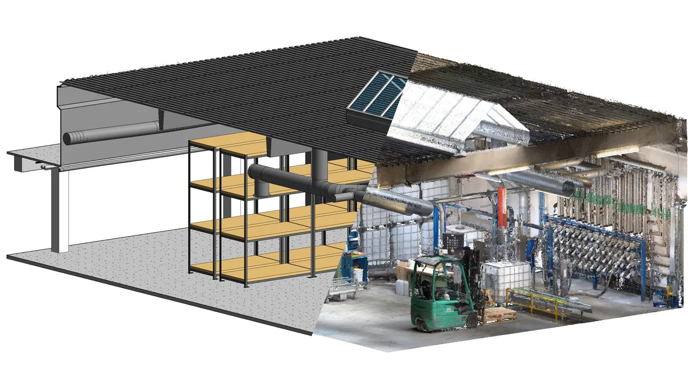
 Measured survey · existing conditions
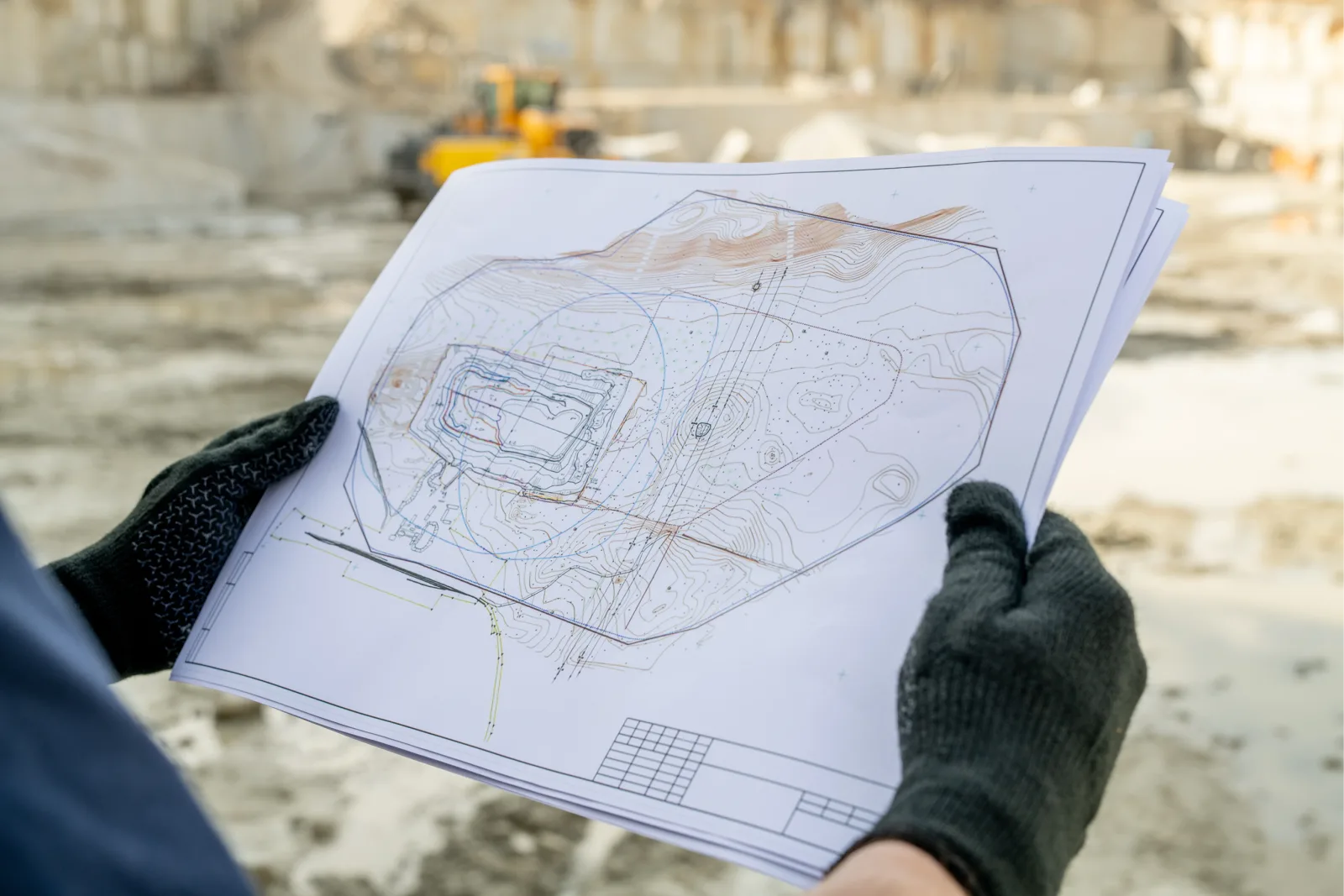 Drawing checked on site
We produce floor plans, elevations, sections and reflected ceiling plans in DWG and PDF: measured by laser scan, drawn from one dataset, so every sheet agrees with every other and with the building itself.
Measured survey · existing conditionsDrawing checked on siteA drawing set of the building as it stands today: floor plans, elevations, sections and reflected ceiling plans in DWG and PDF, plus the registered point cloud they were cut from. Where the project needs a model rather than 2D sheets, we deliver Revit or IFC through the Scan-to-BIM service. Because all sheets come from one dataset, they are consistent with each other, and questions nobody thought to ask on the day are already answered in the data, with no second site visit.
Each set is delivered with the things that make it defensible: the survey date, the capture method and its accuracy with conditions attached, the coordinate and level datum used, and a note of anything excluded or inaccessible. A drawing that does not say when it was measured and to what tolerance is a drawing somebody will eventually distrust.
An approved plan records what was permitted; an as-built records what was built. The two commonly differ: buildings are altered, some works are lawfully exempt from approval, and older records may exist only on microfilm. If you first need the official record, start with the BCA plan purchase guide; when what arrives is not usable, this service is the remaining route.
The pattern repeats across Singapore stock: a 1990s office building with three generations of fit-out, an HDB unit where the wet areas moved, a shophouse with a mezzanine nobody documented, a factory where the M&E was rerouted twice. In every case the design team’s real problem is not a missing PDF: it is that no drawing in existence matches the building. Measurement is what closes that gap.
The set is drawn to your conventions, not ours. We agree before production: sheet sizes and scales, layer or template standard (your office CAD standard, a consultant’s template, or a clean neutral set), line weights, dimension style, north point and grid, level datum, and which annotation you want: room names, areas, floor finishes, door and window tags, ceiling heights, structural grid references.
Typical contents of a full set: general arrangement floor plans per level; roof plan; two or more sections through the building’s cores and changes in level; external elevations; reflected ceiling plans showing services penetrations and ceiling heights; and enlarged plans where a room’s complexity or a statutory question demands them: plant rooms, wet areas, lift lobbies, staircases.
Site walkthrough and scope confirmation; laser scan capture (hours, occupied buildings fine); registration and QA of the point cloud; drawing production directly from the cloud, with every wall, opening and level traced to measured geometry rather than transcribed from a tape; internal check against the cloud; then delivery in DWG and PDF with the cloud archived for later questions.
Drawing from a scan changes the failure mode. Hand measurement produces sheets that disagree: plan and section built from separate measuring sessions, each with its own accumulated error. A single registered dataset cannot disagree with itself, if the plan says 6.42 m, the section says 6.42 m, and both can be re-checked against the cloud years later without anyone returning to site.
A laser measures surfaces it can see. It does not see inside walls, above sealed ceilings, below slabs or behind fixed joinery, so concealed structure, buried services and in-wall routing are not in the deliverable unless the space is opened or another method is used. Where those elements matter, we mark them as unverified on the drawings rather than drawing an assumption.
Two more honest limits. Drawings record the building on the survey date: subsequent works are not in them. And a measured drawing is not a certification of compliance, capacity or condition: it is geometry. The assessments that follow belong to a QP, a professional engineer or a competent person, and we supply the geometry those roles work from.
Access to everything in scope, a site contact who can open doors, any existing plan however outdated, your CAD standard or a sample sheet, the level datum if the project has one, and a clear statement of what the drawings must answer. That last item matters most: a set for a landlord’s records, a set for a tender, and a set supporting a statutory inspection are different scopes, and naming the purpose up front is what keeps the fee proportionate.
For a normal floor plate the point cloud is ready within a week of capture, with the drawing set following per scope: typically one to three weeks depending on sheet count, annotation depth and how many levels repeat. What drives cost: floor area, number of levels and separate tenancies, the sheet list, annotation and dimensioning depth, access and out-of-hours constraints, and whether the deliverable is 2D only or a model as well.
Send the building and the sheets you need to get a quote. If you are not sure which sheets you need, tell us what the drawings are for and we will propose the set.
Drawing scope, not scanning, is what decides the fee, so it is worth being deliberate. A records set is the lightest useful scope: general arrangement plans per level, room names and areas, principal dimensions, one or two sections. It answers “what do we own and how big is it” and suits landlords, MCSTs and insurers.
A design set adds what a consultant needs to work: elevations, more sections, reflected ceiling plans with heights and services penetrations, door and window schedules, and dimensioning against a grid. This is the usual scope for fit-out, renovation and A&A design, and the one that prevents variations later.
A coordination set goes further: enlarged plans for plant and wet areas, structural member sizes as finished, services routes where visible, and tighter tolerance capture in the areas that will be built against. It costs more and is worth it where trades will install against existing surfaces.
Ask for the lightest set that answers your question, and ask for the point cloud with it. Because the cloud is archived, upgrading from a records set to a design set later does not need a second visit: only more drawing time. That is the practical advantage of measuring once and drawing to demand.
Sheet list, scales, CAD standard, datum and annotation depth agreed before anyone mobilises.
Laser scan of everything in scope. Hours on site; occupied buildings are normal.
Point cloud registered and checked for coverage against the scope list.
Plans, elevations, sections and RCPs traced from the cloud to your conventions.
Internal check against the cloud, then DWG + PDF delivery. Cloud archived for later questions.
Sheet-level deliverables in the formats your consultants and authorities work with, plus the source data behind them.
| Deliverable | Format | Typical use |
|---|---|---|
| General arrangement floor plans | DWG + PDF | Design, tender, records, statutory submissions via your QP |
| Elevations | DWG + PDF | Facade works, PFI support, external alterations |
| Sections | DWG + PDF | Level changes, ceiling voids, structural coordination |
| Reflected ceiling plans | DWG + PDF | Services coordination, ceiling heights, fit-out design |
| Enlarged / detail plans | DWG + PDF | Plant rooms, wet areas, cores, staircases |
| Area schedules | PDF / XLSX | Room-by-room measured areas from the drawing set |
| Registered point cloud | E57 · LAS/LAZ · RCP | The measured source, archived and re-checkable |
| BIM model | RVT · IFC | Where a model is needed: via Scan-to-BIM |
Drawings state the survey date, capture method and accuracy with conditions, the datum used, and anything excluded or inaccessible.
Drawings of the building as it actually stands, plans, elevations, sections and RCPs, as opposed to approved plans, which record what was permitted. Singapore’s inspection regimes test for exactly that difference.
A&A submissions, periodic structural and facade inspections, MCST records, reinstatement at lease end, fit-out design and tendering, and whenever the official plan is missing, illegible or outdated.
DWG and PDF as standard; RVT or IFC where a model is needed; the source point cloud is included. Area schedules in PDF or spreadsheet on request.
One dataset means every drawing agrees with every other. Manual measurement produces drawings that disagree, and any dimension missed on the day forces a revisit. In the scan, it is already there.
Yes. Send your template or a sample sheet and the set is produced in it: layers, line weights, dimension styles, title block. If you have no standard, we deliver a clean neutral set.
Only what is visible to the scanner. Elements inside walls, above sealed ceilings or below slabs are not measured, and are marked unverified rather than assumed. Opening up, or a different method, is needed where those elements govern.
Yes: room-by-room measured areas taken from the drawing set. Note that statutory floor-area definitions such as GFA are set by the authorities and certified by a QP; our schedules report measured geometry.
The point cloud within a week of capture for a normal floor plate; the drawing set typically one to three weeks after that, depending on sheet count and annotation depth.
Usually. We check registration quality, coverage against your sheet list, and the coordinate system first. Where the cloud misses spaces the drawings must show, we price capture of those areas only rather than redoing the building.
Yes, to the tolerance of the capture, stated on the sheets with its conditions. Handheld capture supports ≤1 cm relative within 10 m; where a dimension will be built against, we capture that area with tripod stations at 4 mm @10 m per station.
As finished, yes: visible columns, beams and slab extents. Anything concealed is marked unverified. For a PE’s inspection this is the usual starting scope; see structural inspection support.
Yes, and it is common. Single-floor as-builts for a tenancy, a clinic or a fit-out are a short capture and a small drawing set. Tell us the area and the sheets and the quote scales down accordingly.