Setting out surveys, certified and checked.
Control, grids, piles and levels set out on site and certified by our partner Registered Surveyor, then checked against the design with LiDAR, so what gets built is where the drawings put it.
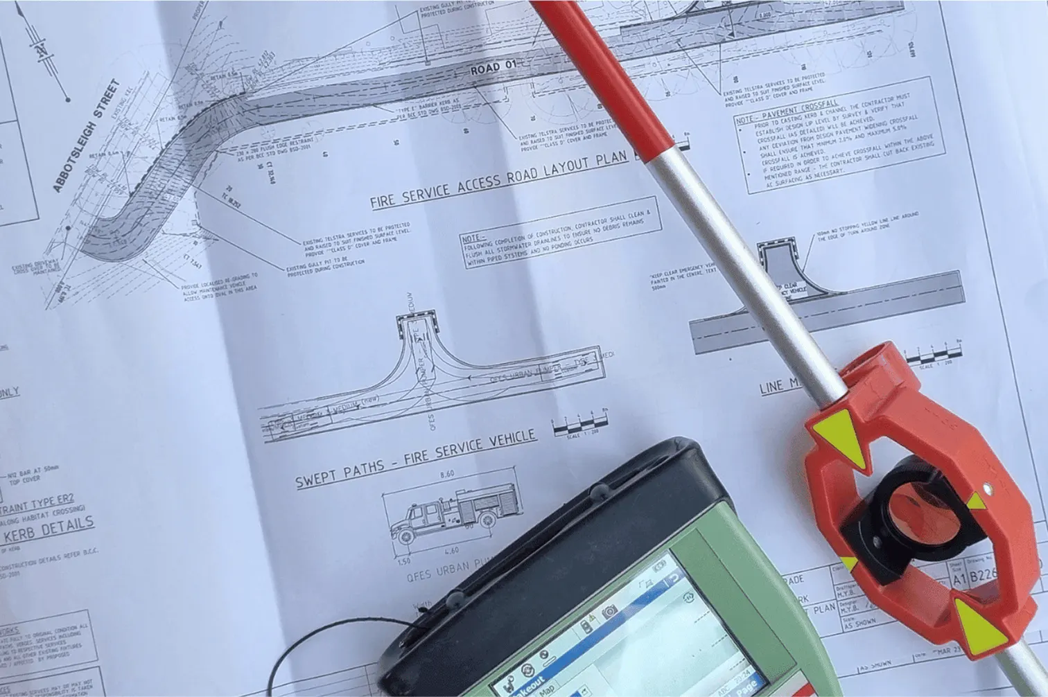 Setting out from the drawings
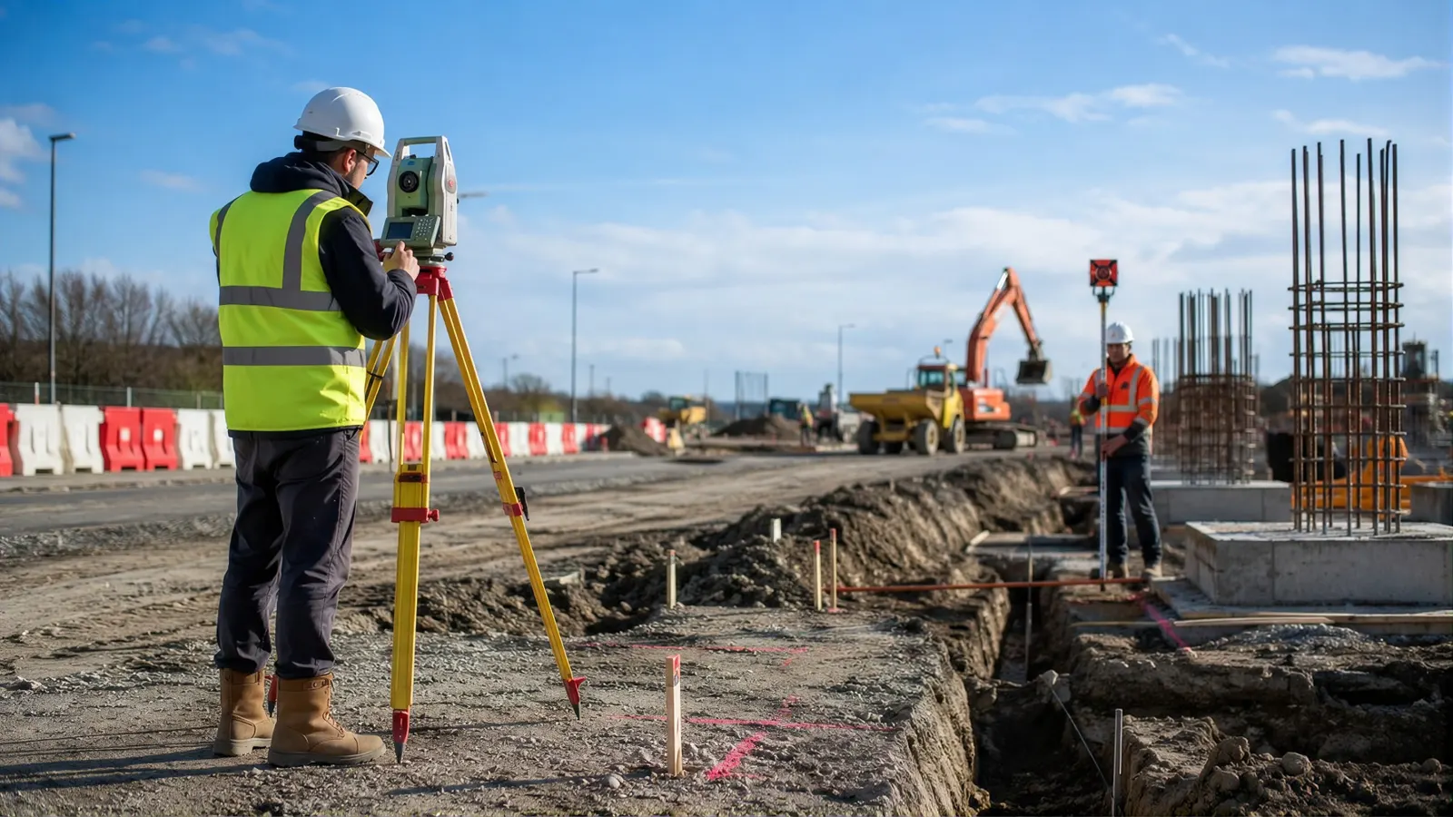 Setting out on site
What setting out covers
Setting out transfers the design from the drawings to the ground: the survey control for the site, the site boundary and building lines, the structural grid, pile, column and wall positions, and the levels the works are built to, on Singapore’s SVY21 coordinates and Singapore Height Datum. Every trade after it builds from those marks, so an error at this stage is paid for by everyone downstream.
Why a Registered Surveyor
LTA’s Preliminaries for Construction Works (Edition 1/2024) require the setting out of the works to be carried out by a registered surveyor, who certifies that the works have been correctly set out in accordance with the drawings. Private contracts and consultants’ specifications commonly carry the same clause. The contract also makes a point that is easy to forget: employing a registered surveyor does not relieve the contractor of responsibility, and the cost of any inaccurate setting out stays with the contractor.
As set-out drawings
At the end, the registered surveyor prepares and endorses “as set-out drawings”, which under LTA’s preliminaries go to the Superintending Officer within two months of completing the works. They record where the works were actually set out, and they are the document that settles a later argument about position.
Checking what was built
Setting out puts the marks in the right place. It does not guarantee the pour, the formwork or the steel went where the marks were. We scan the built works withLiDAR at the stages that matter, after piling, after the first structural floor, before cladding brackets go on, and compare them against the design model or drawings. A deviation report shows every element outside tolerance while it is still cheap to fix.
The same capture becomes the record the rest of the job builds on, and later the basis foras-built drawings.
Volumet and the Registered Surveyor
Volumet is not a Registered Surveyor. The statutory part of this work is carried out, signed and lodged by a Registered Surveyor registered under the Land Surveyors Act, from a surveying firm we partner with. We capture and measure, run the job and give you one point of contact and one quote.
Cost drivers
Price follows the site size, the number of grid lines, piles and elements to set out, how many visits the programme needs, and how many verification scans you want between them. Send the drawings and the programme to get a quote.
Set out, certify, verify.
Design drawings, grid and datum checked; site control established or verified.
The Registered Surveyor sets out boundary, grid, piles and levels on site.
The Registered Surveyor certifies the works were set out to the drawings.
Volumet scans the built works and reports deviations against the design.
Endorsed by the Registered Surveyor at completion of the works.
Priced per programme.
Setting out by our partner Registered Surveyor and LiDAR verification by us, priced together against your programme. We come back within one business day.
- Design drawings and grid
- Site plan and control, if any
- Construction programme
- Number of grid lines, piles and elements
- Number of site visits
- Verification scans between stages
- Site size and access
A landed rebuild is a short job; a multi-block site with staged piling is a programme of visits.
This one depends on the site, so we price it from the details. Send them and we come back within one working day.
Priced case by case once we have the site details.
What the contractor receives.
| Deliverable | Prepared by | Use |
|---|---|---|
| Setting-out certification | Partner Registered Surveyor | Certifies the works were set out to the drawings |
| As set-out drawings | Partner Registered Surveyor | The endorsed record of where the works were set out |
| Site control and benchmarks | Partner Registered Surveyor | SVY21 coordinates and Singapore Height Datum levels |
| Deviation reports | Volumet | Built works against the design, element by element; PDF |
| Registered point cloud | Volumet | The record of what was built; E57 or LAS |
Requirements from LTA’s Preliminaries for Construction Works, Edition 1/2024, clause 3. Your contract may state its own.
Related work, services and guides.
Common questions.
What is a setting out survey?
Transferring the design from the drawings to the site: control, building lines, grids, pile and column positions and levels, marked on the ground for the trades to build from.
Does setting out need a Registered Surveyor?
Often, by contract. LTA's Preliminaries for Construction Works require setting out by a registered surveyor who certifies it, and many private contracts say the same. Our partner firm's Registered Surveyor does and certifies the setting out.
Is Volumet a Registered Surveyor?
No. The setting out is carried out and certified by a Registered Surveyor from our partner surveying firm. Volumet verifies the built works with LiDAR and runs the job, so you have one contact and one quote.
What are as set-out drawings?
Drawings endorsed by the registered surveyor recording where the works were actually set out. Under LTA's preliminaries they are submitted within two months of completing the works.
Does the surveyor's certificate transfer the risk?
No. LTA's preliminaries say employing a registered surveyor does not relieve the contractor of responsibility for accurate setting out, which is why checking the built works matters.
How does LiDAR verification work?
We scan the built works and compare them against the design model or drawings, reporting every element outside the agreed tolerance, so a wrong pile or column is found before the next floor is built on it.
Which coordinate system do you work in?
SVY21 for position and Singapore Height Datum for levels, unless your project specifies otherwise.
Can you set out a single house?
Yes. A landed rebuild usually needs the building lines set out against the boundary; where the boundary itself is in doubt, start with a cadastral survey.