Hydrographic surveys, above and below the waterline.
Bathymetry by an MPA-approved partner hydrographic surveyor, and the shoreline, seawall, jetty and structures above the water captured by our LiDAR, delivered as one dataset.
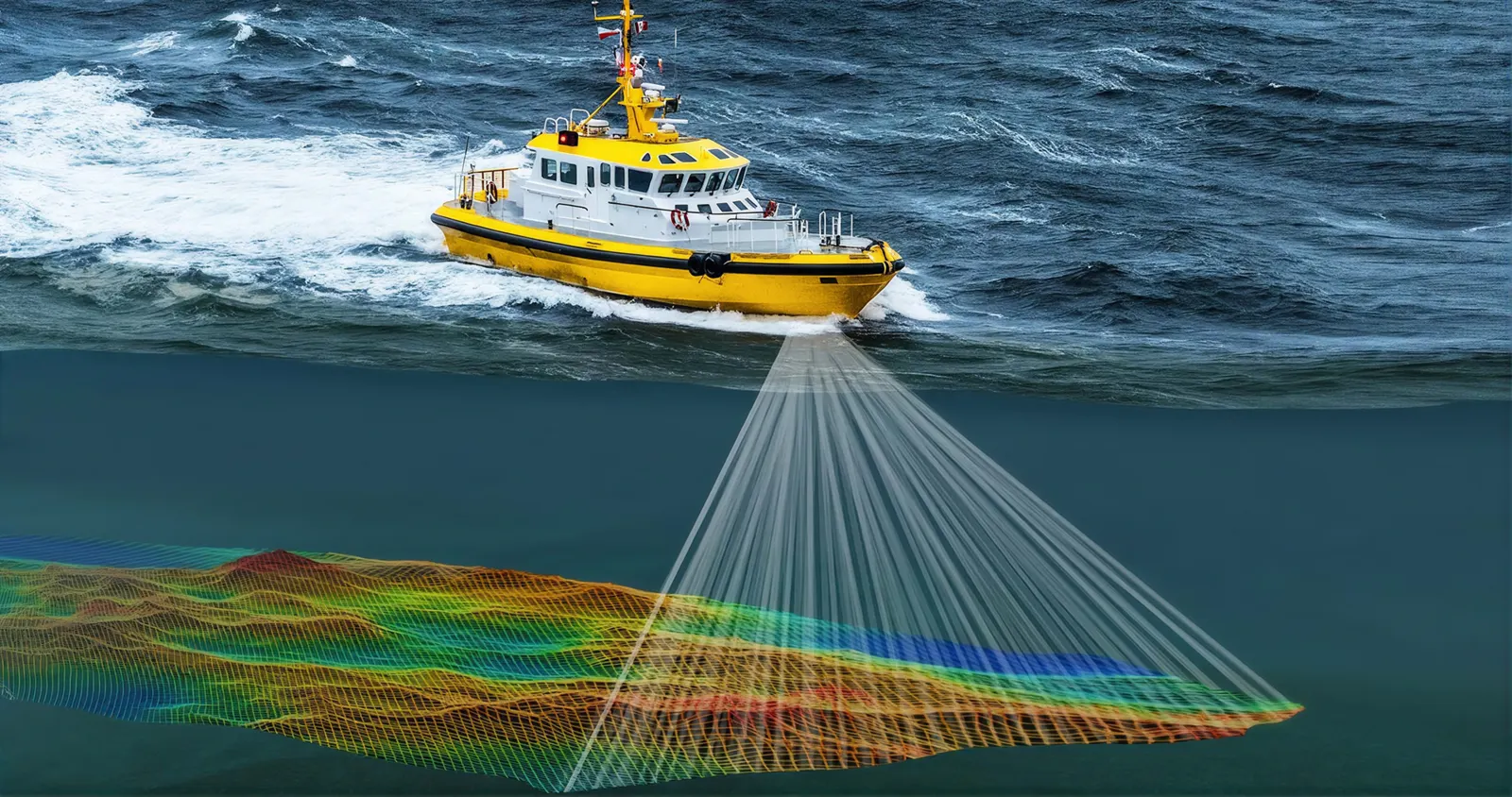 Multibeam bathymetry
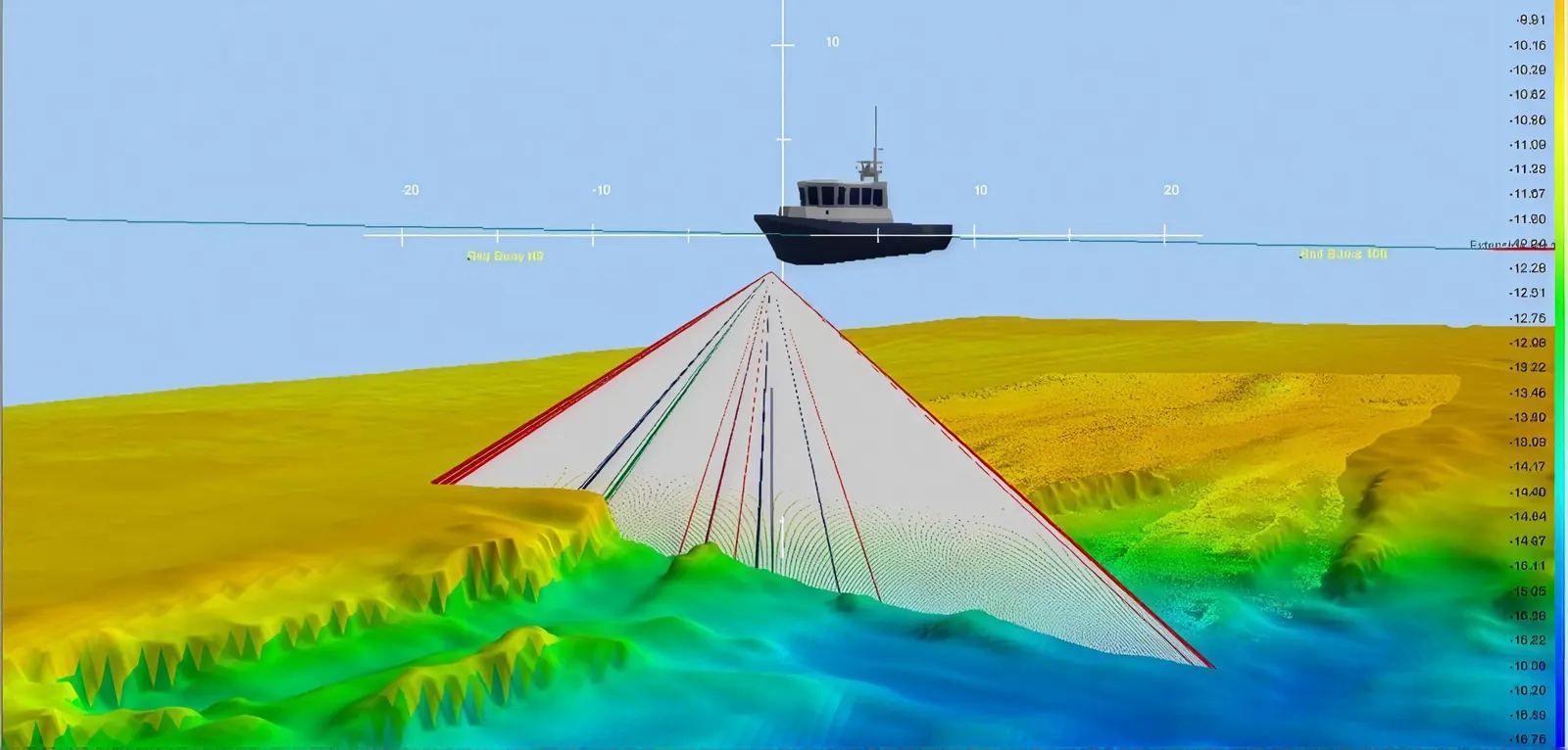 Seabed surface model
What a hydrographic survey covers
A hydrographic survey measures the seabed or riverbed: water depths, the shape of the bottom, and obstructions on it. Bathymetry is the depth part of that work. It is needed before dredging and reclamation, for berth and jetty design and maintenance, for outfalls and intakes, and to check depths after works are complete.
MPA’s requirements
In Singapore waters the Maritime and Port Authority sets the rules through itsGeneral Specifications for the Conduct of Hydrographic Surveys. The contractor engages a hydrographic surveyor approved by MPA; the survey is conducted by a surveyor certified under a Category A or B programme recognised by FIG, IHO and ICA, and the survey plans and data are endorsed by a Category A surveyor. Permission is sought from MPA’s Chief Hydrographer for each survey, vessel movements are cleared with MPA, and the work follows the IHO S-44 standard.
Above the waterline
A depth survey stops at the water’s edge, and most marine projects do not. The seawall, the jetty deck and piles, the pontoon, the revetment and the land behind them all have to be designed against the same datum as the seabed. We capture everything above the water withLiDAR from the land, from the structure itself and bydrone, and join it to the partner’s bathymetry on an agreed datum, so the designer gets one model from the bed to the deck.
Who does what
Volumet is not a hydrographic surveyor. The survey below the waterline is conducted and endorsed by MPA-approved hydrographic surveyors from firms we partner with, under MPA's permission for each survey. We capture the shore and structures above the water, join the two datasets and run the job, so you have one point of contact and one quote.
Cost drivers
Price follows the survey area and line spacing, water depth and traffic, the vessel and equipment the site needs, the extent of structures to capture above the water, and the deliverable format. Send the location, the extent and the purpose to get a quote.
Seabed to deck, in one dataset.
Area, purpose and standard agreed; MPA permission sought for the survey.
The partner hydrographic surveyor surveys the water to IHO S-44.
Volumet scans shoreline, seawalls, jetties and structures.
Both datasets joined on an agreed datum and checked at the overlap.
Survey plans endorsed by the Category A surveyor, with the combined model.
Priced per survey.
The partner hydrographic survey and our above-water LiDAR capture, priced together. We come back within one business day.
- Location and extent
- Purpose of the survey
- Structures above the water to capture
- Survey area and line spacing
- Water depth and vessel traffic
- Vessel and equipment needed
- Extent of above-water capture
MPA's permission is needed for each survey, so the programme starts from the application.
This one depends on the site, so we price it from the details. Send them and we come back within one working day.
Priced case by case once we have the site details.
What the project receives.
| Deliverable | Prepared by | Use |
|---|---|---|
| Endorsed hydrographic survey plan | Partner hydrographic surveyor | Depths and seabed, endorsed to MPA's specification |
| Bathymetric data | Partner hydrographic surveyor | Soundings and seabed surface |
| Above-water point cloud | Volumet | Shoreline, seawall, jetty and structures; E57 or LAS |
| Combined model | Volumet | Seabed to deck on one datum, for design |
Based on MPA’s General Specifications for the Conduct of Hydrographic Surveys. Check MPA’s current edition before a survey.
Related work, services and guides.
Common questions.
What is a hydrographic survey?
A survey of the seabed or riverbed: depths, bottom shape and obstructions, used for dredging, reclamation, berth and jetty work, outfalls and post-works checks.
What is the difference between hydrographic and bathymetric survey?
Bathymetry is the measurement of water depth. A hydrographic survey includes it, along with the other features that describe the water body for navigation and engineering.
Who can conduct hydrographic surveys in Singapore waters?
A hydrographic surveyor approved by MPA, certified under a Category A or B programme, with the plans and data endorsed by a Category A surveyor and MPA's permission for each survey.
Is Volumet a hydrographic surveyor?
No. The survey below the water is done by MPA-approved hydrographic surveyors from our partner firms. Volumet captures the shore and structures above the water and joins the two.
Why combine it with LiDAR?
Because the design sits across the waterline. A seawall, jetty or revetment needs the seabed and the structure on one datum, and LiDAR captures the part the echo sounder cannot.
Which standard does the survey follow?
IHO S-44, as required by MPA's general specifications.