The Volumet blog.
Articles, guides and case studies: everything we have written about capturing and using 3D data equipment in Singapore.
Articles & guides
Explainers, how-tos and field notes from the team.
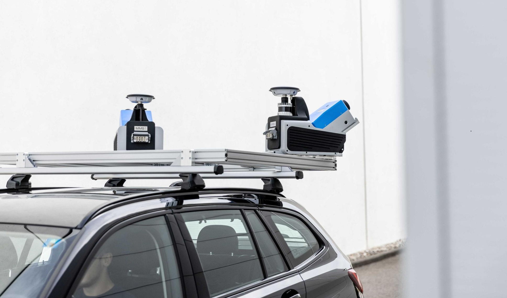
Z+F has launched complete mobile mapping systems built on SLAM and its PROFILER scanner, aimed at tunnels and GNSS-denied spaces. What that changes for site capture in Singapore, and what it does not.
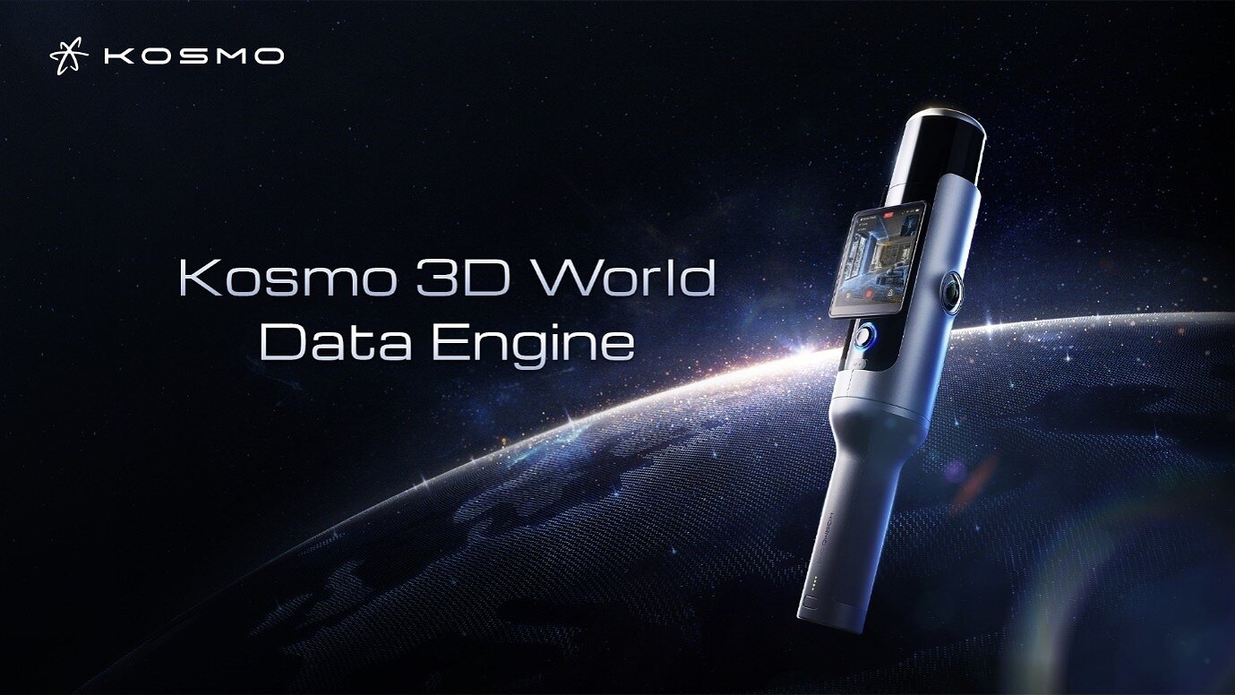
Hesai's Kosmo One pairs lidar with an 8K camera for Gaussian splatting and exports the raw data. The specs, who it is for, and the questions still open.
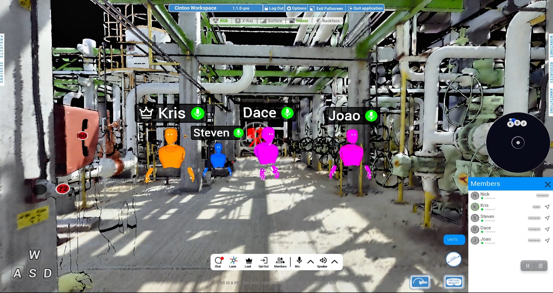
Cintoo has launched Workspace, a real-time collaborative review environment built on 3D scan data. We look at what it changes for as-built sign-off in Singapore, and where it still falls short.
A photogrammetry webinar weighs Gaussian splats against textured meshes. For as-built work in Singapore, splats win on visual fidelity and lose on measurement.
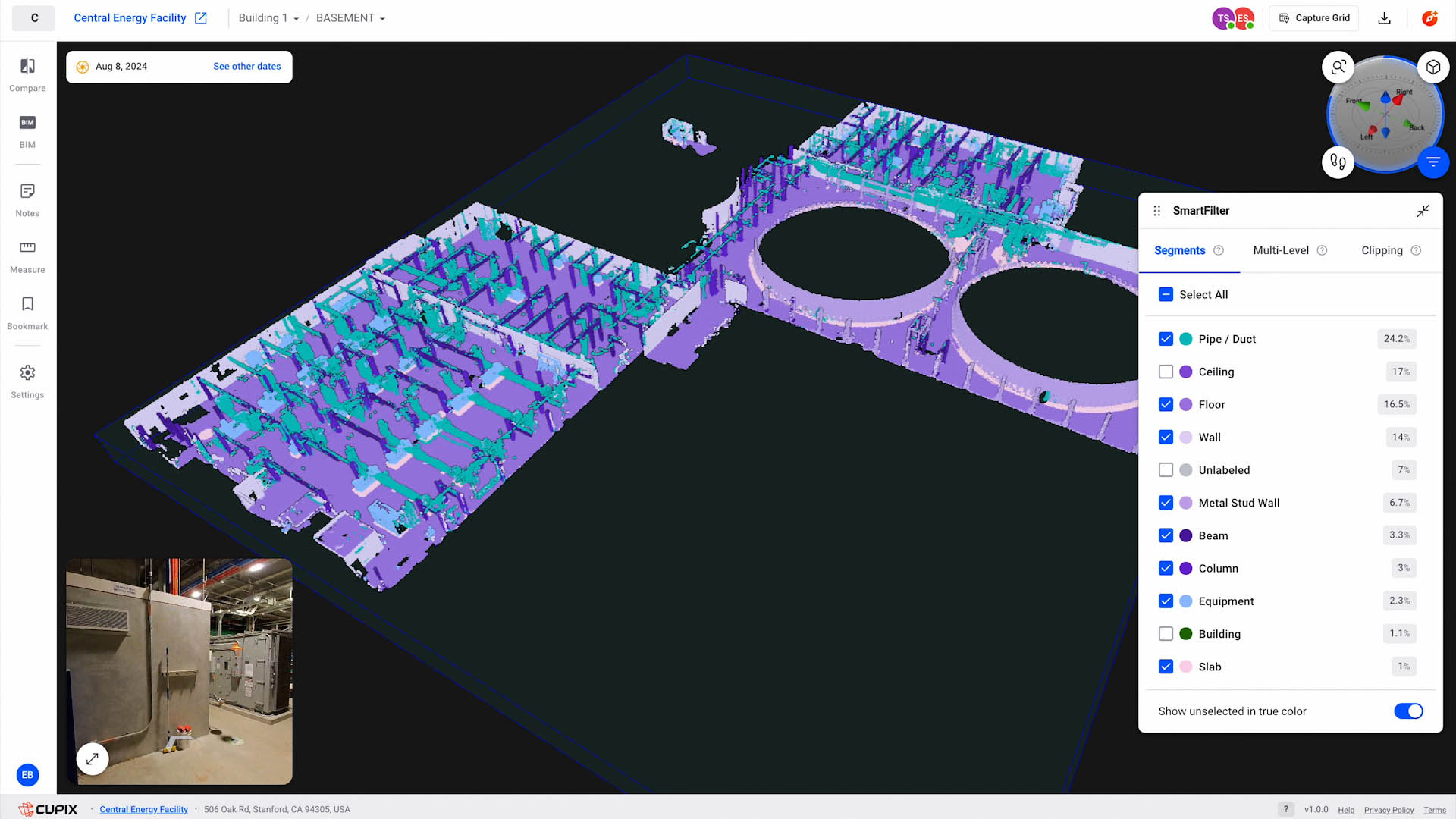
Cupix is repositioning CupixWorks from a construction digital twin into an operations platform. Here is what that shift means for owners, FMs and as-built records in Singapore.
The second CORENET X phase took effect on 1 October 2026. New projects of 5,000m² GFA and above, including major A&A works, now go through the Gateway Processes. Smaller projects stay on CORENET 2.0.

JTC and Kajima are piloting autonomous excavators and compactors at Jurong Innovation District. Here is what machine-controlled earthworks change for as-built documentation, and what they do not.

A Mid-Autumn greeting from Volumet, and the scanning quirk behind our poster: why calm water and glass make a LiDAR scan record a ghost copy of the scene.
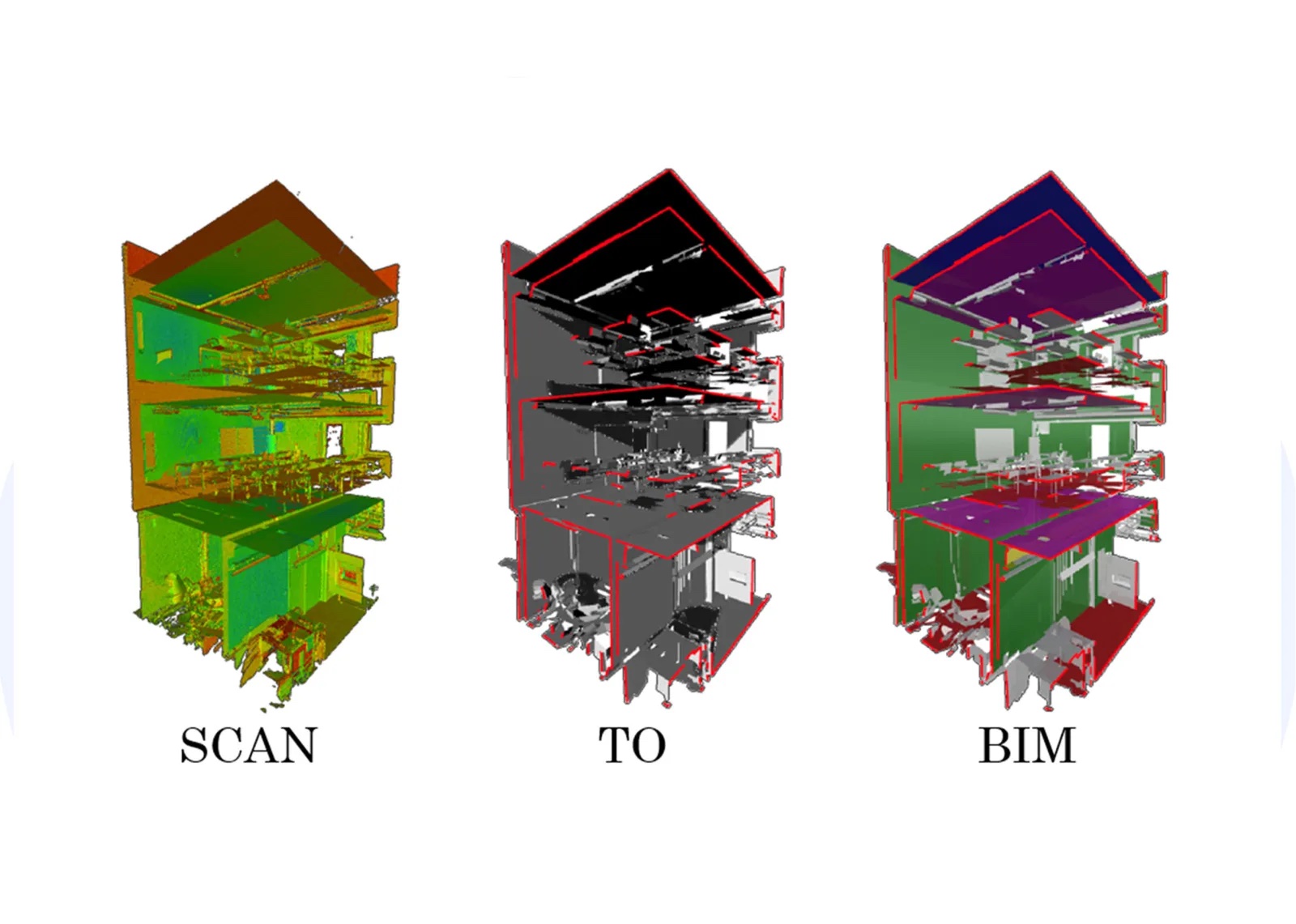
UNSW Sydney research finds better point-level segmentation does not always produce better geometry. For Singapore as-built work, that shifts the question from model scores to deliverable quality.
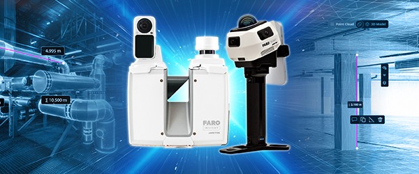
FARO has added two terrestrial scanners and a bundled capture package. Here is what that means for as-built and Scan-to-BIM work in Singapore, and what to ask before you commit.
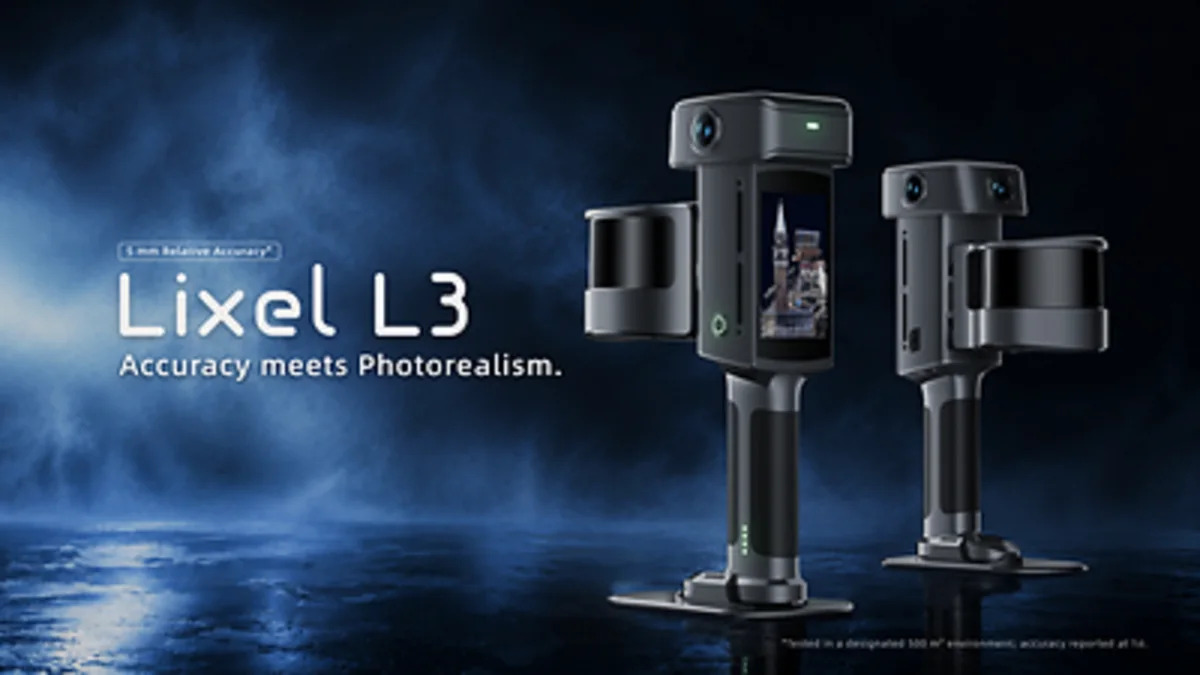
XGRIDS announced the Lixel L3, a handheld SLAM scanner with validated 5 mm relative accuracy. Here is what that claim does and does not change for as-built and Scan-to-BIM work in Singapore.
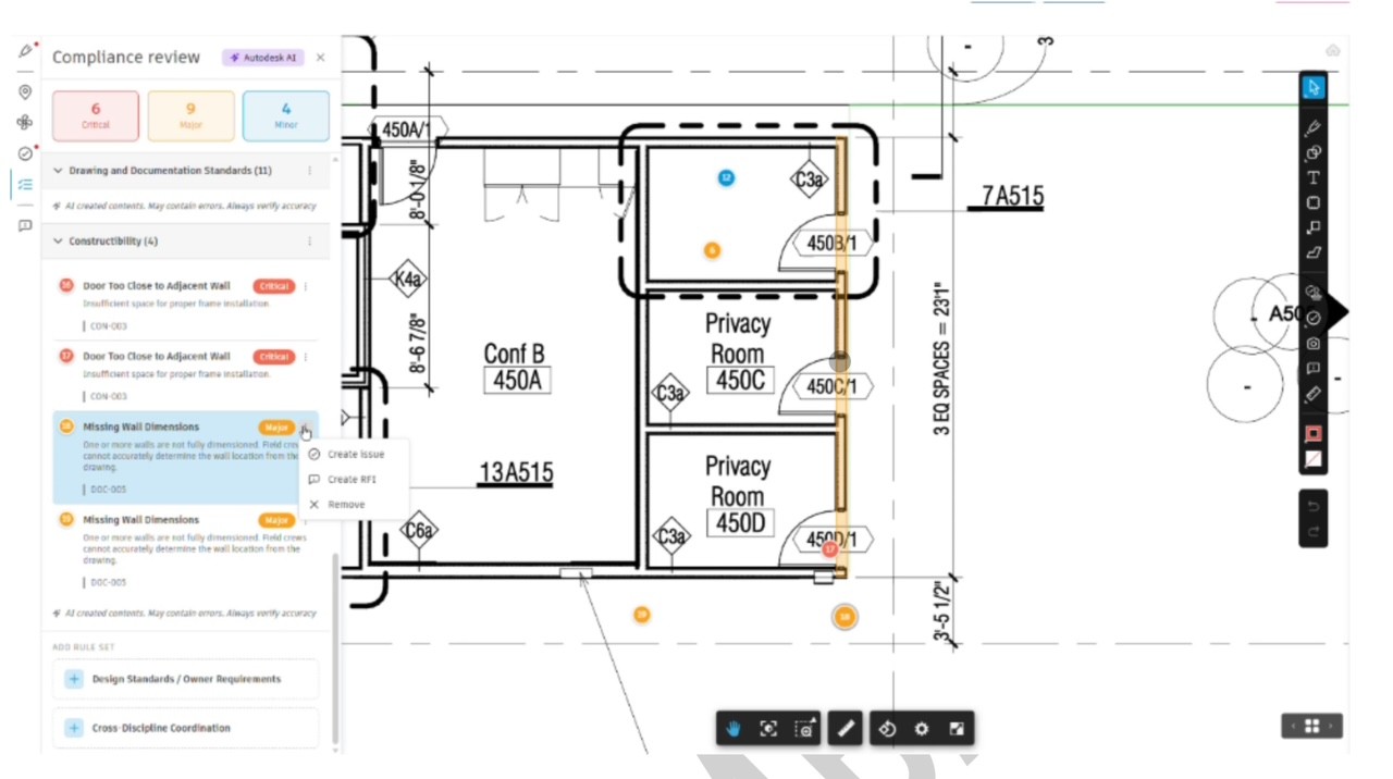
Autodesk has confirmed that Forma will replace Revit over time, with Revit continuing as a connected client. What that changes for scan-to-BIM and as-built work in Singapore, and what it does not.
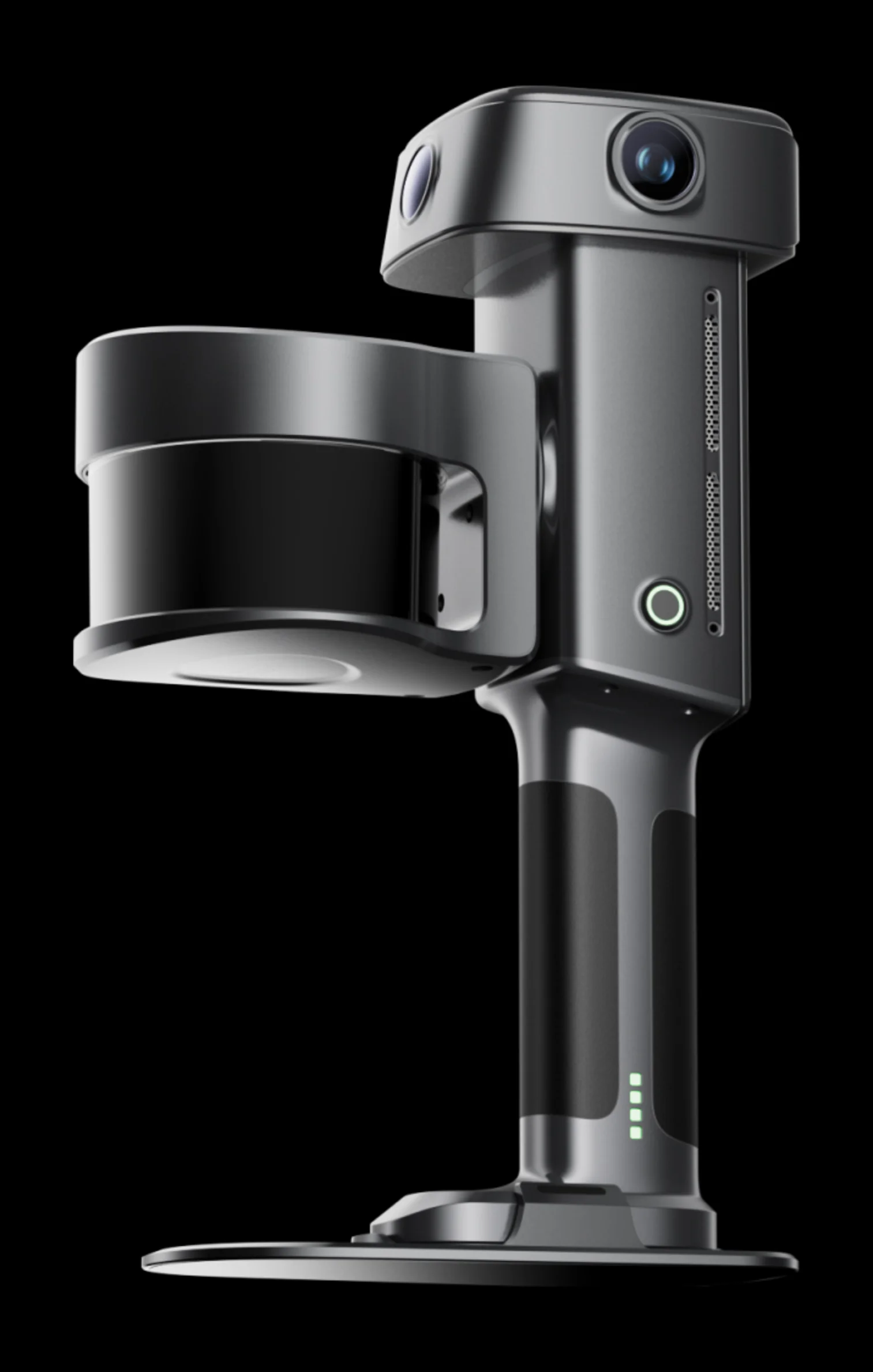
Every published specification for the Lixel L3, announced 15 September 2026: what the numbers mean on site, the test conditions behind them, and where this device sits in the XGRIDS range.
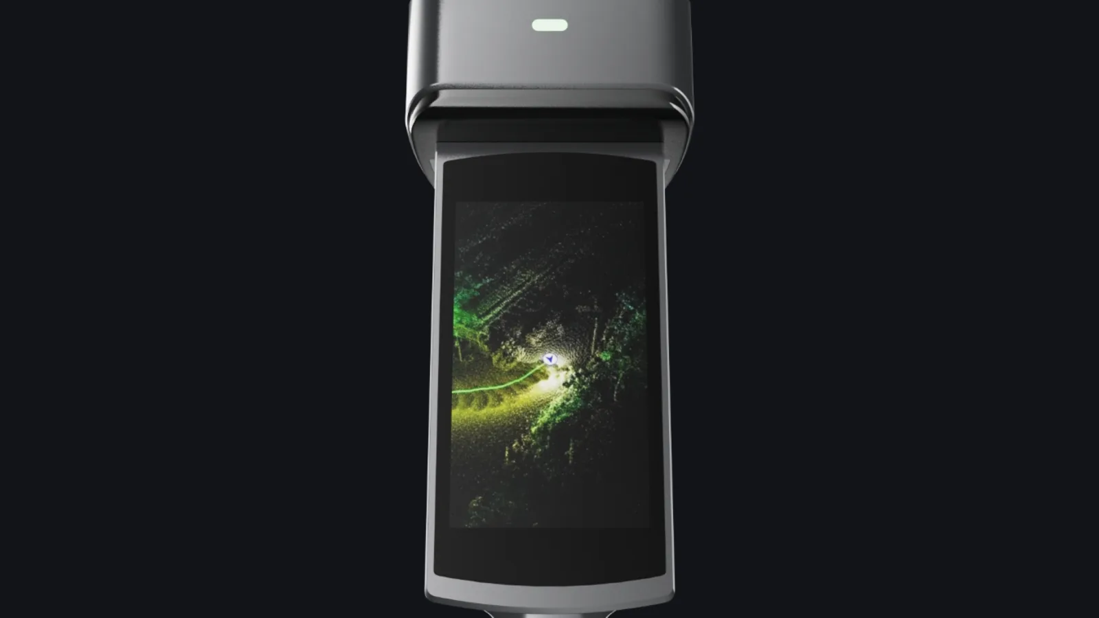
XGRIDS announced the Lixel L3 on 15 September 2026. What actually changed against the L2 Pro, what did not, and why the newer scanner is not simply the better one.

What as-built drawings are, when a Singapore project needs them, and how scanning produces them faster and more completely than manual measurement.

What handheld SLAM scanning actually is, what it produces, and why renting is the rational entry point for most teams.
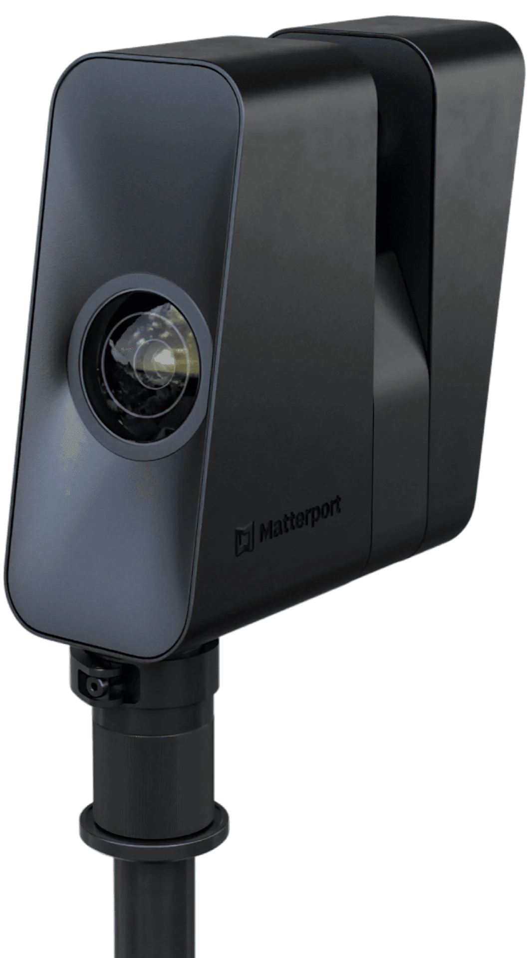
Pro3 pricing from S$2,000/week, the Matterport account requirement, and when to rent a LiDAR scanner instead.

How point clouds, meshes and 3DGS scenes feed simulation, robotics and AI training pipelines.

The 2026 price guide: weekly rental rates, cost drivers, worked examples, and when to hire a firm instead.

Purchase prices vs weekly rates, honest break-even maths, and the utilisation question that decides it.

What 3DGS is, what the capture workflow looks like, and which rental devices produce it.

How to capture point clouds a BIM team can model against: scanner choice, capture, and deliverables.

The complete starting guide: what’s in the kit, the approval process, and how to prepare your site.

A plain-English explainer: what a point cloud is, how it’s captured, and what you can build from it.

Three ways to capture reality in 3D, compared on accuracy, speed, cost and best use.

How handheld SLAM maps interiors, sites and corridors by walking through them, no tripod required.
From the field
Capture stories from real Singapore sites.
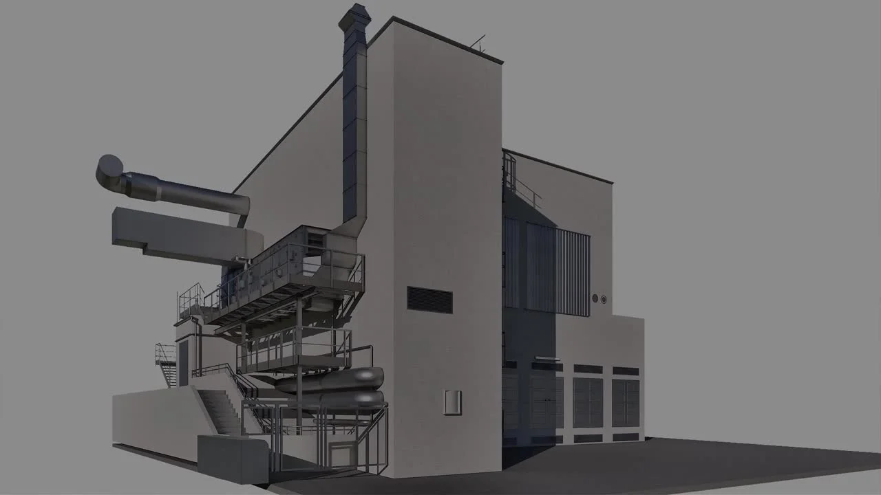
The full Scan-to-BIM pipeline on a working factory in Salzburg: field capture, LixelStudio processing, Revit modelling to LOD 400, alignment verification and 3D Gaussian Splatting as a second deliverable.

An occupied interior documented in a single handheld walk-through: capture, processing, and deliverables.

Point cloud captured and registered as reference geometry for a modelling team to build against.

A venue captured for a navigable, photoreal 3D Gaussian Splatting walkthrough clients can explore.

Interior and façade reference for a conservation project, captured in a single visit.

A repeatable walk-through that gives the project team a verifiable record of progress over time.

Using built-in RTK between high-rises to deliver a georeferenced point cloud without a survey crew.
Tell us what you need documented.
Send the address, the approximate area, and what the output is for. We respond with a scope, a quote, and a capture date within one business day, and we will say so if a cheaper deliverable would do the job.
- 3D laser scanning and reality capture
- As-built drawings, floor plans, elevations, and sections
- Scan-to-BIM in Revit or IFC at an agreed LOD
- Digital twins, 3DGS scenes, and virtual tours
- Singapore-wide, Southeast Asia case-by-case
- Scanner rental and sales still available