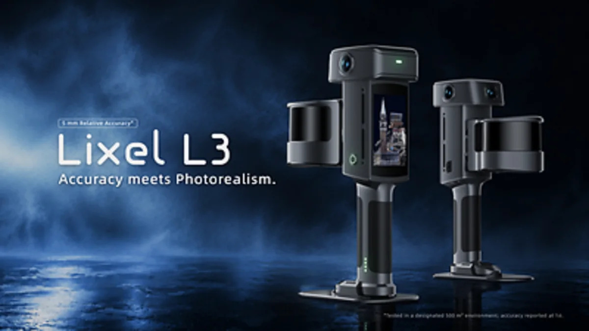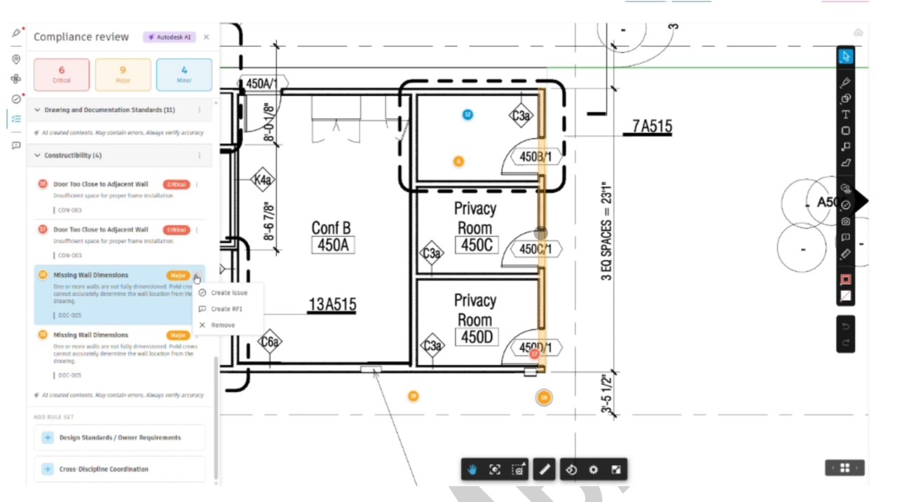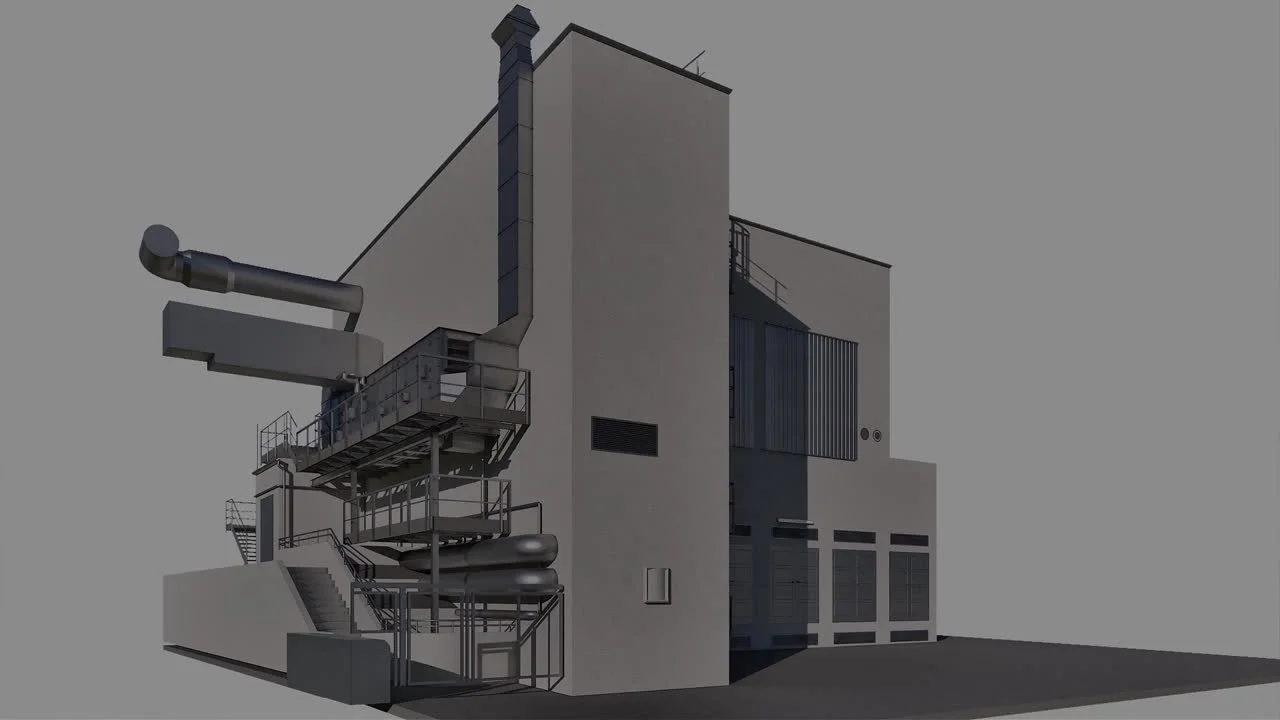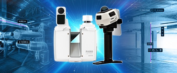
FARO INSIGHT, a business unit of AMETEK, has added two terrestrial laser scanners and a bundled capture package to its line-up. The Focus i.1 and Focus i.1 X are tripod scanners aimed at AECO and geospatial work, with object scanning accuracy quoted up to 0.9 mm, faster colourised scanning and what the release calls advanced positioning. The i.1 X adds a GNSS/RTK mountable receiver and a 400-metre scanning range for outdoor work. Alongside them comes Rovi i.1, a package built with Manifold Tech that pairs a mobile scanner with a software subscription. The release also flags SCENE 2027, which it says cuts point cloud generation on large projects from hours to minutes and adds an AI filter for glass and mirror reflections, a cloud-to-cloud link with Flyability's Inspector Online for Elios 3 drone data, and an Integrated Projects scan-to-BIM ordering service inside Sphere XG. An integration with Qbitec is expected later in 2026. The hardware is being shown at INTERGEO in Munich and Autodesk University in Las Vegas.
If you commission 3D scanning services in Singapore, the interesting part of this announcement is not the hardware. It is the direction of travel: the scanner vendors are moving toward bundled hardware-plus-subscription packages and toward letting you order the model from inside the same platform that holds the point cloud.
Why it matters for building and site documentation work in Singapore
Singapore scanning work splits into two fairly distinct jobs, and the new line-up touches both differently.
The first is open, structured space: a warehouse floor, a podium deck, a facade elevation, a car park ramp, an industrial plant room with long runs. A tripod terrestrial scanner earns its place here. It holds a fixed position, it registers cleanly against targets or against overlapping geometry, and it reaches across distances a handheld unit cannot cover without a lot of walking. The 400-metre range on the i.1 X is aimed squarely at that kind of outdoor and geospatial work, and the GNSS/RTK mount matters for sites where you want the cloud to land in a known coordinate frame without setting up a total station traverse first.
The second is cluttered interior: HDB and condo units, back-of-house corridors, M&E risers, conservation shophouses with tight rooms and irregular finishes. Handheld and SLAM capture wins here, because you walk the space rather than setting up repeatedly. Our own handheld work sits in this bracket, and we have written before about what 5 mm handheld scanning actually means in practice.
Most real Singapore projects need both. A single scanner purchase or a single rental decision rarely covers the whole job.
What it changes in practice, and what it does not
The workflow announcements are the ones with practical weight. Three of them are worth separating out.
| Announcement | What it plausibly changes | What it does not change |
|---|---|---|
| SCENE 2027 faster point cloud generation | Turnaround on large multi-scan projects, where processing has been a real bottleneck | Registration quality, control, or the modelling effort downstream |
| AI filter for glass and mirror reflections | Cleanup time on interiors with glazed partitions, mirrors, curtain walls | The need for a human to check the result before it becomes a model |
| Integrated Projects scan-to-BIM ordering in Sphere XG | How a client places and tracks a modelling order | Who is accountable for the model's accuracy, and to what tolerance |
| Rovi i.1 bundled capture plus software | Entry cost for firms wanting to bring capture in-house | Whether the firm has the survey and modelling skill to use the output |
On the accuracy figure: 0.9 mm is an object scanning accuracy claim, and it holds under the conditions FARO states for that measurement. It is not a statement about the accuracy of the as-built model you will receive. Delivered accuracy depends on registration method, control network, point density, the level of detail you asked for in the model, and how the model was checked. Anyone who quotes you a bare millimetre number for a whole building deliverable without stating those conditions is not giving you a specification.
The glass and mirror filter is genuinely useful in Singapore. Glazed partitions, mirrored lift lobbies and curtain wall interiors are common, and reflections have always been a manual cleanup task. An AI filter that removes most of them reduces hours. It does not remove the need to inspect the result, because a filter that deletes reflections can also delete real geometry that looks like one.
The scan-to-BIM ordering service inside Sphere XG is the announcement to watch, and the one to be cautious about. Ordering a model from a platform is convenient. It also inserts a layer between you and the person who built the model. When the model is wrong, you want a named party who can be asked why, and a checking regime you agreed to in advance. Platform convenience does not supply either of those.
Our view
The honest read is that this is a portfolio refresh plus a platform play, not a change in what is physically possible on a Singapore site. Tripod scanners have been doing this work for years. What is changing is the commercial packaging: subscriptions instead of perpetual licences, bundles instead of separate purchases, and vendor platforms trying to own the path from capture to deliverable.
That packaging shift matters to you in two ways.
First, it affects the total cost of ownership for firms considering in-house capture. If you buy or rent a scanner and the processing software is now a subscription, your cost model changes from a capital purchase to a recurring line. That is fine if you have steady volume. It is poor value if you scan four buildings a year.
Second, it affects deliverable portability. When capture, processing and modelling all live in one vendor's platform, the question of what you actually receive at handover becomes more important, not less. Ask for the raw registered point cloud in an open format, and the model in a format you can open without a licence. If the answer is a link that only works while a subscription is paid, you do not own your as-built record.
Where we would push back on the framing: the release describes a complete workflow from capture to insight. In practice the hard part of an as-built deliverable is not capture and it is not processing. It is deciding what level of detail the model needs, modelling to it consistently, and checking it. No scanner and no platform does that for you.
Who should care most: facilities and asset owners with a portfolio large enough to justify in-house capture, and main contractors who scan repeatedly across a project. For a one-off as-built of a single building, none of this changes your decision. Commission the work.
What to do next
If you are scoping a documentation job, the practical steps are the same whether or not FARO's new hardware is on the truck.
Ask what instrument mix will be used and why. A credible answer names the terrestrial scanner for the open areas and a handheld or SLAM unit for the cluttered interiors, rather than one device for everything.
Ask for the accuracy specification in terms of the deliverable, not the device. What tolerance does the point cloud hold to, under what registration method, and what tolerance does the model hold to at the level of detail you asked for.
Ask what you receive at handover and in what formats, and whether you can open it without a licence.
If you already have in-house survey capability and a steady pipeline, equipment rental may be the cheaper route, and you produce your own outputs. If you need the data captured, registered, modelled and checked, request a quote and we will scope it against the deliverable rather than the device.
For the modelling side specifically, our Scan-to-BIM work is scoped by level of detail and tolerance, and our 3D laser scanning page covers how we choose between handheld and terrestrial capture on a given site. If the deliverable includes a navigable record rather than a model, digital twin capture is the relevant line. For large outdoor sites and facades, drone and aerial LiDAR often covers ground a tripod cannot reach efficiently.
One related note for anyone tracking platform changes: Autodesk's move toward Forma has its own consequences for as-built deliverables, which we covered in Forma Will Replace Revit: As-Built Impact.