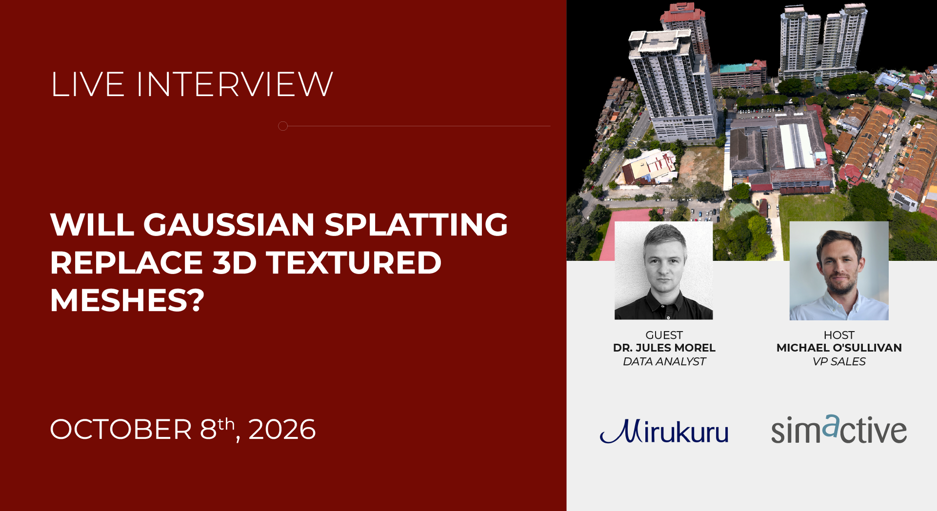
A photogrammetry webinar scheduled for 8 and 9 October 2026 will ask whether Gaussian splatting replaces 3D textured meshes. The session, run by SimActive with guest Dr Jules Morel of Mirukuru in Japan, covers how splats are created, what imagery quality they need, how they compare with traditional textured meshes, and when each approach makes sense. It also covers using splats for visualisation and for measurement. That is the whole of the announcement: Will Gaussian Splatting Replace 3D Textured Meshes?. No accuracy figures, no benchmark, no verdict.
So the honest position is that the question is still open at the level of the webinar. It is not open at the level of your project, because your project has a purpose and the purpose decides the format. Below is how we think about it when a client asks, which happens most weeks now.
Why this matters for as-built and digital twin work in Singapore
Most of our work produces a point cloud first. The point cloud is the measurement record: registered, georeferenced, checked against control, and traceable. Everything else is a layer on top. A textured mesh is one such layer, a digital twin built on 3D Gaussian Splatting is another, and a virtual tour is a third.
The splat question matters because it changes which layer a client should be paying for, and in what order. If splats can carry the visual load, the mesh stops being the default visual deliverable. If they cannot carry measurement, the point cloud stops being optional. Both of those have cost consequences, and both have consequences for what you can hand to a Qualified Person, a contractor or a facilities team two years later.
It also matters because splats are cheap to capture. A drone pass, a handheld walkthrough, or even a phone video can feed a splat pipeline. That lowers the barrier to getting something visual, which is good, and raises the risk of someone treating that something as a survey.
What changes in practice, and what does not
What splats are good at
Visual fidelity, from angles you did not plan for. A splat scene reads as a photograph you can move through. For client presentations, tenant marketing, heritage interpretation, condition records where the look of the surface is the point, and virtual tours, that is a real advantage over a mesh with baked texture.
Capture is also more forgiving. Splats come out of overlapping imagery, so a drone orbit or a handheld video walk can produce something usable without the careful station planning a terrestrial scan needs.
What does not change
Measurement. A splat is a cloud of view-dependent primitives optimised to look correct. It is not a surface with a defined position you can snap a dimension to. If a number has to survive a challenge, it comes from the registered point cloud, not the splat.
Interoperability. Splats are their own format. Point clouds have established routes into Revit, Navisworks, ArchiCAD and the common coordination tools. If your consultant needs to federate the model, the splat is a viewer-side artefact, not a coordination input.
Deliverable conventions. As-built drawings, submission sets and handover records in Singapore are still geometry-led documents. A splat does not replace a drawing, a model or a schedule. It sits beside them.
| Need | Point cloud | Textured mesh | Gaussian splat |
|---|---|---|---|
| Defensible dimensions | Yes | Yes, if built from the cloud | No |
| Federated BIM coordination | Yes | Yes | Not natively |
| Photoreal visual walkthrough | Limited | Moderate | Strong |
| Capture cost | Higher | Higher | Lower |
| Long-term archival clarity | Established | Established | Format risk |
Where splats genuinely win
Anything where a person needs to look at the site and understand it without being trained on point cloud viewers. Facilities walkthroughs, client sign-off on finishes, remote review of a plant room, a heritage record where the patina is the record. Our digital twin capture work increasingly pairs a registered cloud with a splat scene for exactly this reason: the cloud answers questions, the splat shows the answer.
Our view
The framing of the webinar question is slightly wrong. It is not a replacement question, it is a division-of-labour question. A splat and a mesh are both derived products. Neither is the survey. The survey is the registered point cloud, and that is the thing you should be protective about in a contract.
Three trade-offs worth stating plainly.
Format risk. Splats are young. The viewers, the compression and the file conventions are still moving. A point cloud in E57 or LAS will open in twenty years. We would not bet a statutory handover record on a splat format surviving unchanged, and we would not advise a client to either.
Accuracy claims. Any figure quoted for a splat-derived measurement has to state the conditions: what imagery, what overlap, what control, what registration. A millimetre number with no conditions attached is marketing. The same rule applies to scanning, which is why we decline to quote bare tolerances. Our 3D laser scanning scopes always name the equipment, the range and the registration method, because the number is meaningless without them.
The cheap-capture trap. Because splats come from ordinary imagery, it is easy to commission one and assume you have a survey. You have a visual record. That is often enough. It is not enough for an A&A submission, a Scan-to-BIM model that a contractor will set out from, or anything a Qualified Person puts a name to. If you are unsure which side of that line your project sits on, the question to ask is simple: will anyone build from this, or only look at it?
On the open questions: how splats behave under measurement in a controlled test, how well they survive conversion into BIM authoring tools, and whether a splat plus a sparse control network can substitute for a full scan on lower-stakes work. Those are worth watching. None of them are settled by a webinar listing.
Who should care: clients commissioning visual deliverables who are currently paying mesh prices for them, and clients commissioning measurement who have been offered a splat as a substitute. Both groups should be asking the same question about purpose.
What to do next
If your deliverable is visual, ask for a splat and expect to pay less for capture. If your deliverable is dimensional, ask for a registered point cloud and treat the splat as an optional extra.
If you are not sure, the useful first step is a scoping conversation rather than a format decision. Tell us what the model will be used for, who will open it, and how long it needs to stay readable. We will tell you which layers you actually need, and we will say so if the answer is fewer than you expected. Request a quote or look through all services.
For projects where the model has to coordinate with consultant geometry, see our notes on Scan-to-BIM and on automatic Scan-to-BIM and what accuracy misses. If your capture is aerial, the same logic applies and the imagery constraints are tighter: drone and aerial LiDAR.
If you would rather capture it yourself and process your own outputs, our equipment rental line covers handheld and terrestrial scanners. You run the capture and produce your own deliverables; we do not process them for you.