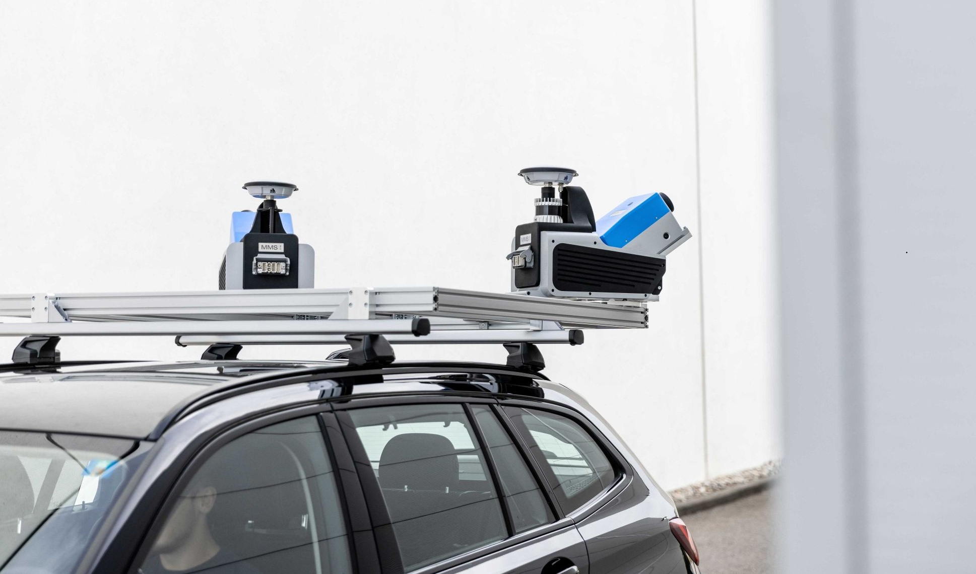
Zoller + Fröhlich has moved from making terrestrial scanners to selling complete mobile mapping systems. At Intergeo the German manufacturer presented three new products: the Z+F MMS One and MMS Two, which pair SLAM technology with its PROFILER 9025C scanner, and the PanOptiCam, a standalone 360 degree camera with integrated GNSS. Z+F says the MMS systems capture colourized point clouds at up to 4.4 million points and 534 lines per second, and that SLAM lets them work where GNSS reception is limited or absent, such as tunnels, underground spaces and between buildings. The systems can be upgraded from one to two scanners. The software side, FlexScan and LaserControl, gained an integrated GNSS receiver with RTK positioning, raw data recording and PPK processing, plus automated SLAM processing with multi-run optimisation, AI-based person anonymisation, automatic glass detection and a panorama viewer. The full announcement is on GIM International.
Why this matters for 3D scanning services singapore work
Singapore is a good place to think about this announcement carefully, because a lot of our site capture happens in exactly the conditions Z+F is targeting.
Basements, MRT tunnels and box culverts, plant rooms below grade, linkways between buildings, covered walkways under dense HDB blocks: these are all places where a GNSS fix is weak or missing. Anyone who has tried to georeference a scan by satellite in a Singapore basement knows the receiver simply gives up. The traditional answer is a static terrestrial scanner, set up on a tripod, registered station by station, tied to control points you establish yourself.
Mobile mapping with SLAM offers a different route. You walk the space with the unit, the software builds the trajectory from the movement of the sensor rather than from satellites, and you get a continuous cloud along the route. For a long tunnel or a linear service corridor, that is a genuinely different way of working from leapfrogging a tripod down the length of it.
The PanOptiCam is the quieter part of the announcement. A 360 camera with onboard GNSS, processing and storage that georeferences panoramas during capture is useful for the visual record that sits alongside the point cloud: the virtual tour layer, the condition photographs, the walkthrough a facilities team will actually open. That is the layer most clients look at first, even when the surveyor cares about the cloud.
What it changes in practice
Three things, and they are worth separating.
Capture in GNSS-denied space gets faster. A SLAM unit covers ground at walking pace. Where a static scanner needs a setup every ten to twenty metres to keep overlap and registration tight, a mobile system keeps moving. On a long tunnel or a repetitive corridor, the time saving is real. The trade-off is that you are trusting the trajectory, and trajectory drift over distance is the thing that has to be managed.
The software is doing more of the hard work. Automated SLAM processing with multi-run optimisation, resampling for even point distribution, automatic glass detection. Glass matters in Singapore: curtain walls, shopfronts, glazed partitions and lift lobbies are everywhere, and glass returns are a classic source of noise and false surfaces in a scan. Automatic detection helps, but it is a processing aid, not a guarantee. Someone still has to look at the result.
Anonymisation is now a built-in feature. AI-based person anonymisation in the processing software is a practical answer to a real problem. Site capture in an operating building, a mall or a hospital will pick up people. Having the blurring happen in the software rather than in a separate pass saves time and reduces the chance it gets forgotten.
What it does not change
It does not change the fact that a point cloud is only as good as its control. SLAM gives you a trajectory; it does not give you an independent check that the trajectory is right. On a project where the as-built model has to hold a tolerance you can defend to a client, a checker or a BIM manager, you still need control points, a registration report and residuals you can show. A mobile mapping system makes capture quicker. It does not remove the need to prove the result.
It does not make terrestrial scanning obsolete. For a single plant room, a facade elevation, a heritage detail or a tight-tolerance fit-out survey, a static scanner on a tripod is still the right tool, and often the cheaper one once you account for the processing and checking a mobile run needs. The two methods are complementary. Most serious projects use both.
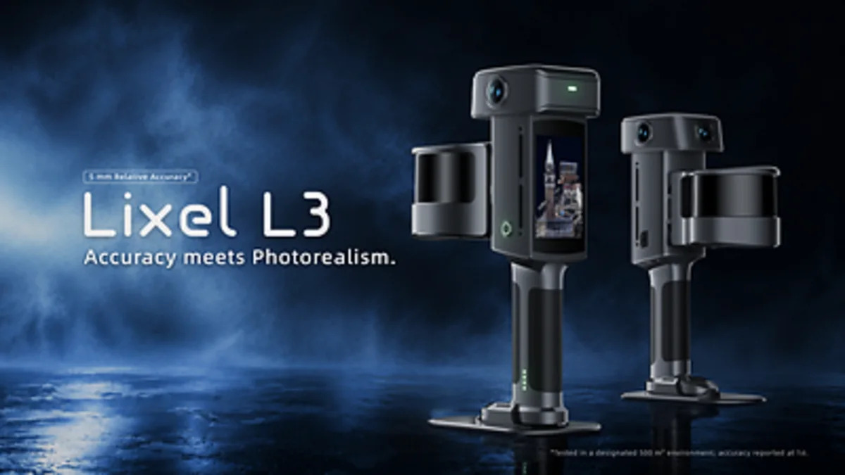
It does not tell you anything yet about price, availability in Singapore, or how the MMS systems perform against the Lixel and Leica units we already rent and use. Those are open questions. We have not tested the MMS One or MMS Two, and we will not pretend otherwise.
Our view
The interesting thing here is not the point rate. It is that a company with a long history in rail and tunnel measurement, going back to the early 1990s, has decided the future of its product line is complete mobile systems rather than scanners you carry to a tripod. That is a signal about where the market is heading, not a verdict on any one project.
The honest trade-off for a client is this. Mobile mapping buys you speed and coverage in awkward, GNSS-poor spaces. It costs you the simplicity of station-by-station registration, where every setup is a known point you can check. When something looks wrong in a SLAM cloud, diagnosing where the error entered is harder. That is why the registration report and the control method matter more, not less, when a mobile system is used.
Who should care? Infrastructure owners with tunnels, culverts and long linear assets. Facilities teams with large basements and back-of-house routes. Anyone commissioning as-built documentation in a building where the surveyor will spend half the day fighting for a satellite fix. If your site is a single open-air facade, this announcement changes little for you.
The open questions are the ones the press release cannot answer: how the trajectory holds over a few hundred metres of featureless tunnel, how the glass detection copes with a Singapore curtain wall in low light, and what the whole system costs to own and run. We will know more when units reach the region and someone puts them through a real project.
What to do next
If you are scoping a survey in a tunnel, basement or other GNSS-denied space, the method matters less than the deliverable. Tell us what the cloud has to support: a Scan-to-BIM model, a condition record, a digital twin, a clash check. That decides the method.
- For modelling work built on captured geometry, see Scan-to-BIM.
- For the capture itself across static and mobile methods, see 3D laser scanning.
- For a visual record and walkthrough alongside the cloud, see digital twin capture.
- For long linear assets and roof-level coverage, see drone and aerial LiDAR.
- If you want to run your own capture, our equipment rental line covers the Lixel K2, K1 and L2 Pro, PortalCam, Matterport Pro3 and Leica BLK360 G2. You produce your own outputs.
- To talk through a specific site, request a quote.
If you are weighing mobile capture against static scanning for a project, our earlier post on what 5 mm handheld scanning means covers the same trade-off from the handheld side, and Gaussian splats versus textured meshes explains which output format suits which end use.