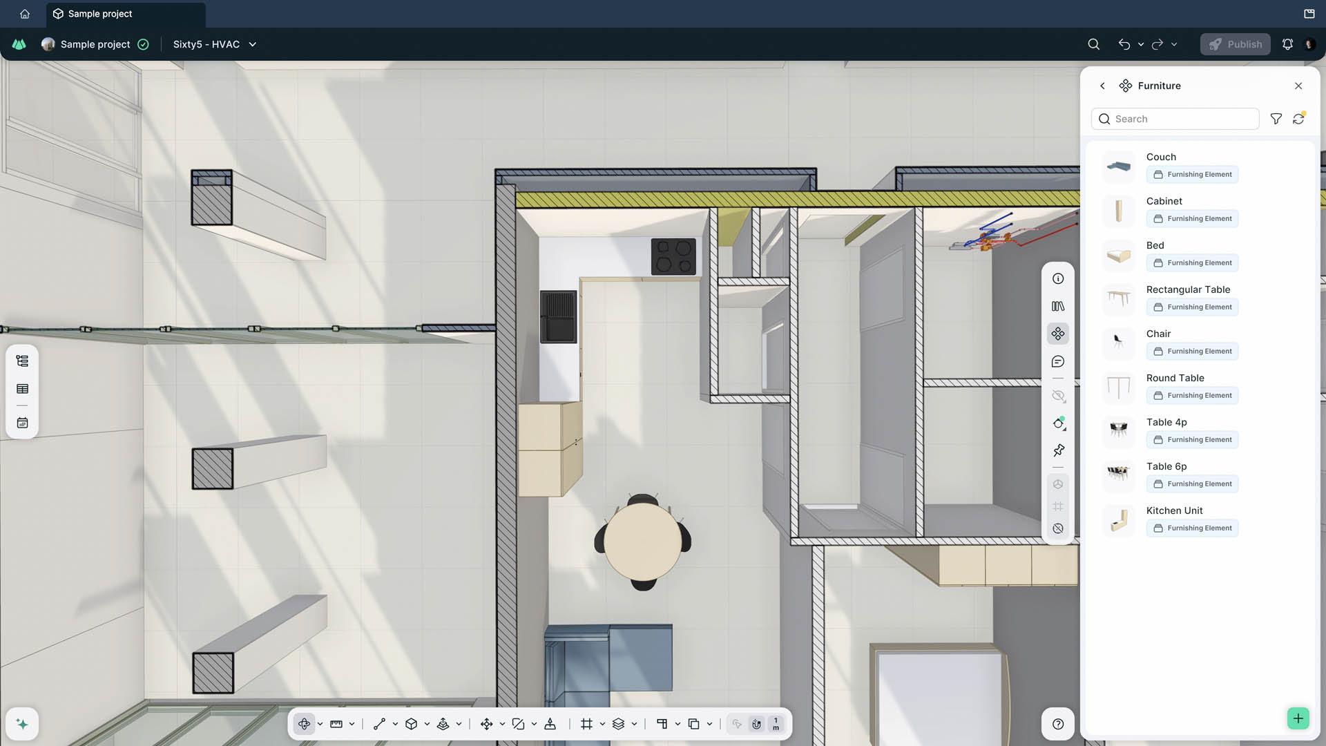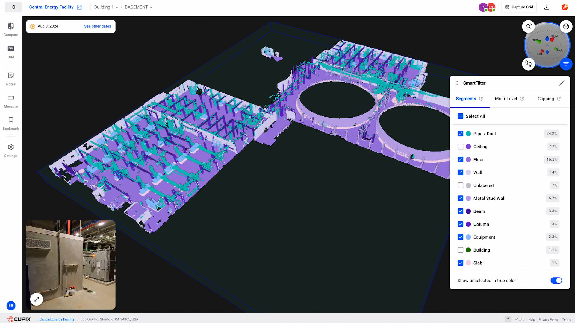
Cupix is repositioning CupixWorks from a construction-focused 3D digital twin platform into something it calls Enterprise Spatial Intelligence. The upcoming version 5.0 is meant to stretch the platform across the asset lifecycle, from construction into operations and maintenance, linking 360, drone and laser scan data with BIM models, data from Autodesk Forma, Procore and Revizto, schedules from Excel, Microsoft Project, Primavera P6 and Oracle Primavera Cloud, and enterprise asset data from SAP, IFS and IBM Maximo. New access routes include Compass, which takes plain-language questions and returns answers tied to captures, dates and locations, and an MCP connector that lets AI agents reach the data. There is semantic classification of point clouds and a custom object locator. The beta is invitation-only. The announcement is on AEC Magazine.
If you commission or deliver as built drawings in Singapore, the interesting part is not the feature list. It is the claim that construction history can be carried into operations to support maintenance and future renovation. That is the same promise every as-built deliverable in this market makes, usually on a much smaller scale and usually broken somewhere between handover and the first renovation.
Why this matters for as-built documentation in Singapore
Most as-built records here are produced once, at completion, and then decay. The contractor hands over a set of drawings and a CD or a folder on a shared drive. The building gets a fit-out. A tenant adds a partition. Someone runs a cable tray through a wall that the drawing says is solid. Five years later an A&A consultant asks for the current layout and the honest answer is that nobody knows.
The gap is not capture. We can scan a building to a few millimetres at 10 metres with a terrestrial scanner, or to a coarser but perfectly usable tolerance with a handheld unit, and register it to control points. The gap is that the record has no owner and no update cycle. A platform that links spatial captures to an asset register and a schedule is, in principle, a place to put that cycle.
Cupix is aiming at hyperscale data centres, pharmaceutical laboratories, semiconductor fabs, airports and hospitals. That list is not accidental. These are the facilities in Singapore where a wrong as-built has a real cost: a data hall where you cannot shut down a busway to check it, a cleanroom where a penetration has to be verified before anyone cuts, a hospital where the services above a ceiling are dense enough that a drawing error becomes a shutdown. If you own or operate one of those, the platform question is already on your desk.
What it changes in practice, and what it does not
What changes is the expectation that a spatial record is a live asset rather than a deliverable. If a platform can hold captures over time and tie them to equipment tags, then the question at handover shifts from "did you give us drawings" to "did you give us a structured record we can keep feeding."
What does not change is the capture. CupixWorks does not scan anything. Someone still walks the site with a 360 camera, a drone or a laser scanner, registers the data, and checks it. The platform reconstructs and links. If the input is a set of 360 images with no control and no scale, the output is a navigable record, not a measurable one. That distinction matters when a contractor later needs to set out a wall from the model.
What also does not change is the integration problem. The announcement names SAP, IFS and IBM Maximo. In Singapore, plenty of facilities run asset registers in spreadsheets, or in a CMMS that nobody has cleaned since commissioning. Linking a spatial record to a dirty asset register produces a dirty spatial record. The platform is not the hard part; the data governance is.
| Claim | What it needs to be true | Where it usually fails |
|---|---|---|
| Construction history carries into operations | Captures taken at intervals, registered to a common control | Captures taken once, at handover, never repeated |
| Deviations surfaced automatically | Model and scan aligned in the same coordinate frame | Model never georeferenced to site control |
| Asset-linked maintenance | Clean, tagged asset register | Register in a spreadsheet, tags not matched to physical assets |
| Plain-language queries | Consistent naming across captures, notes and models | Every contractor named things differently |
Our view
The direction is right and the timing is not surprising. Reality capture vendors have spent years selling to construction, where the buyer disappears at handover. Operations is where the money stays. Repositioning the platform toward the owner is the obvious commercial move.
The open questions are the ones the announcement cannot answer. How does the platform handle a facility that was captured by three different contractors with three different registration methods and three different naming conventions? How does it reconcile a point cloud registered to a local grid with a BIM model set to a project origin? How much of the linking is automatic and how much is a consultant with a spreadsheet? Those are the questions to ask in a beta, not the feature list.
There is also a Singapore-specific constraint. A digital twin that supports operations is only as good as the authority record it sits beside. If your as-built set does not reconcile with what was submitted for TOP or CSC, you have two versions of the truth and the platform holds one of them. We have written before about how CORENET X changes the submission side; the operations side has no equivalent forcing function yet.
Who should care: owners and facility managers of asset-heavy, regulated facilities, and the main contractors handing those buildings over. Who should not: anyone doing a single-unit renovation, a small A&A job, or a residential measured survey. For those, a clean set of as-built drawings and a registered point cloud will do more than a lifecycle platform you will not maintain.
If you are renting equipment to produce your own captures, the same logic applies to you. The hardware produces the record; the discipline of re-capturing and registering is what makes it useful later. That is not something a rental unit does for you.
What to do next
Before you evaluate any platform, get the record right. Three things, in order.
First, establish control. A spatial record without a registered control network is a picture. If you want to compare captures over time, they have to sit in the same coordinate frame. That is a survey decision, not a software one.
Second, decide what you are measuring against. If the answer is "the as-built drawings," check whether those drawings match the building. Often they do not. A 3D laser scanning survey at a stated tolerance gives you a baseline you can defend. If you need the model rather than the cloud, Scan-to-BIM turns the capture into something a consultant can work in.
Third, plan the update cycle. A record captured once is a photograph. A record captured at handover and again after each significant change is a history. If you are heading toward a digital twin, the cycle matters more than the first capture.
If you want to talk through what a defensible baseline looks like for your facility, request a quote. If you would rather capture it yourself, our equipment rental line covers the Lixel handheld units, the Matterport Pro3 and the Leica BLK360 G2, and you produce your own outputs.