JTC and Kajima have launched what they describe as Singapore's first pilot using autonomous heavy construction equipment, running at the Bulim Autonomous Yard in Jurong Innovation District. The trial starts with excavators and compactors, with autonomous bulldozers and dump trucks considered for a next phase from 2027. An operator assigns tasks and sets virtual geofences, and the machines then work from sensors and AI while staff monitor remotely. JTC is targeting a 50% reduction in skilled operators, with one operator overseeing two machines, and says it has a pipeline of at least 800 hectares of earthworks over the next five years. The excavator uses an autonomous retrofit kit from Gravis Robotics; the compactor uses Kajima's A4CSEL system. Separately, Schneider Electric is putting S$25mn into automation and digital capabilities at its Tuas distribution centre, including a goods-to-person system, digital twin technology and machine-learning forecasting, with completion expected by 2027. The full report is at Human Resources Online.
Why this matters for as built drawings in Singapore
Both stories are about the same thing from different ends: work that used to be described by the people who did it is now described by a system.
On a conventional earthworks job, the as-built record is assembled from several sources. The surveyor's topographical picks. The operator's memory of where he hit rock. The foreman's note that the last 200 metres were re-cut after rain. The daily records. Some of that is written down, some of it is not, and the parts that are not tend to surface later as a variation or a dispute.
Autonomous plant does not remove any of that. It changes who is present to observe it. If one operator is supervising two machines from a control room, there are fewer pairs of eyes on the ground at any moment. The machine's own logs become a source, but they are the vendor's logs, in the vendor's format, and they describe what the machine did, not what the ground ended up like.
That gap is where survey and scanning work sits. Not as a replacement for machine telemetry, but as the independent record of the finished surface that the telemetry cannot provide.
The Tuas announcement is the other half. A distribution centre that runs on a goods-to-person system, real-time dashboards and a digital twin is a building whose internal layout will change faster than its structure. Racking moves, pick stations get reconfigured, automation phases get added. Each of those changes invalidates part of whatever model was handed over at completion. If the handover model is a one-off deliverable, it has a short useful life. If it is a maintained record, it has a long one.
What changes in practice, and what does not
What changes
Control networks become the spine of the record. An autonomous machine works to a geofence defined in a coordinate system. If your survey control is loose, the machine and the surveyor are working to slightly different versions of where the site is. On an 800-hectare pipeline, that compounds. Setting and monumenting control properly at the start is no longer a survey nicety; it is the thing that lets machine logs, survey picks and the final model agree.
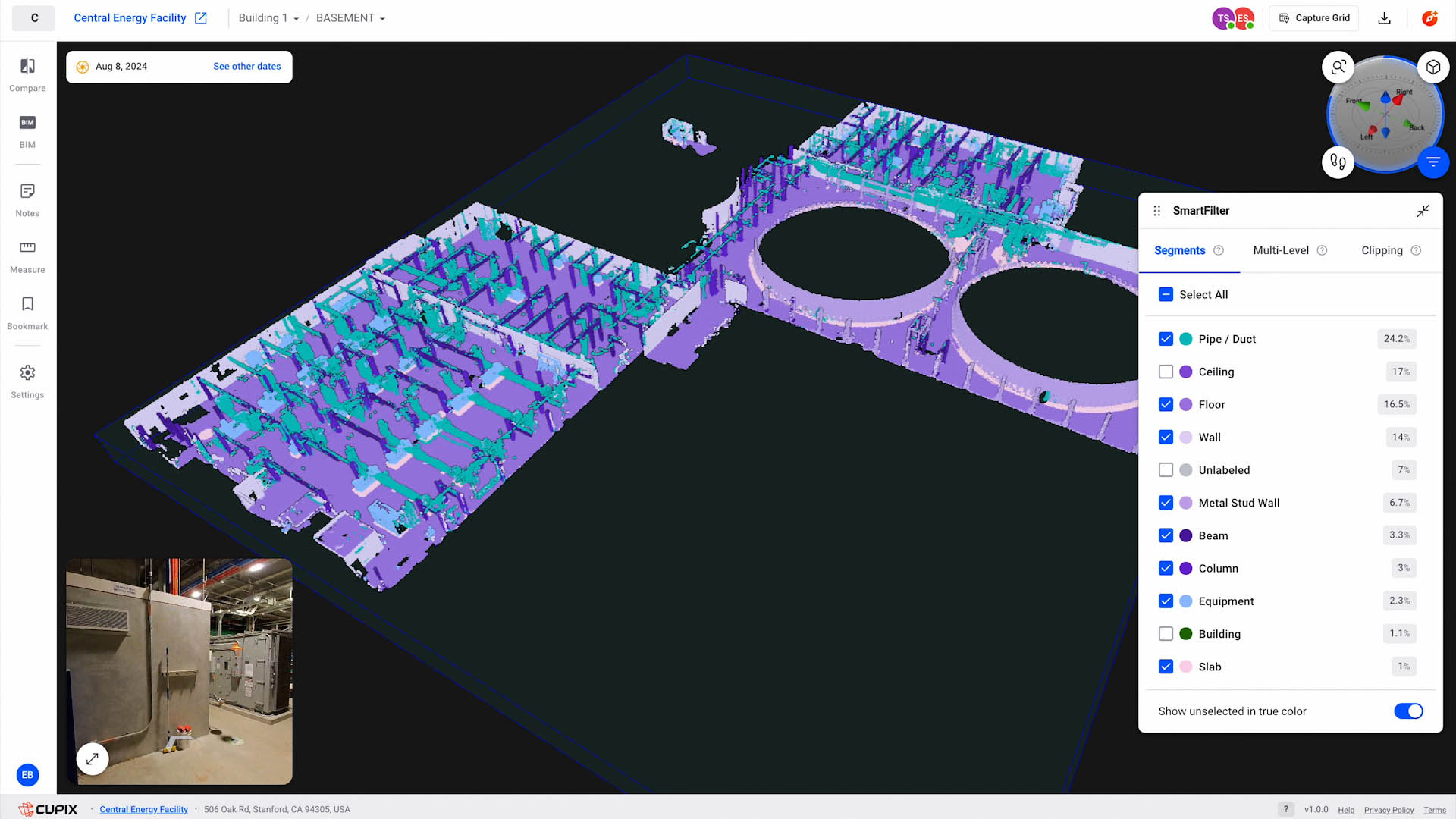
Scanning earthworks becomes a sequencing job. You cannot scan a site the way you scan a building interior. The surface moves under you. What works is repeated capture tied to fixed control, so each pass is comparable to the last. That gives you cut and fill verification over time rather than a single cloud of a surface that no longer exists.
The handover model has to be owned by someone. If the contractor, the equipment provider and the developer each hold part of the record, nobody holds the whole. Decide before mobilisation who ends up with the final model and in what format.
Retrofit kits raise a documentation question. A machine that has been retrofitted is not the machine in the original manual. If the finished surface was produced by a retrofitted unit, the as-built record should be able to say so. That is a records-management point, not a technical one, and it is the kind of thing that only matters two years later when someone asks why a batter is 300 mm off.
What does not change
The submission regime. As built drawings, TOP and CSC processes, QP sign-offs: none of that shifts because a compactor drives itself. The authority still wants the same documents from the same parties.
The accuracy question. Autonomous plant does not make survey more accurate by itself. A scan is accurate relative to its control, its registration method and its range. A handheld unit at close range and a terrestrial scanner on a tripod do not produce the same numbers, and neither does a drone flying photogrammetry over a stockpile. Any figure quoted to you should come with the conditions it holds under. Our note on automatic Scan-to-BIM covers why segmentation accuracy and geometric accuracy are different claims.
The need for a human to interpret. Machine logs tell you a bucket moved. They do not tell you the ground was unsuitable, or that the design line was wrong, or that the neighbouring plot's drainage crosses yours. That still comes from a person looking at the model.
Our view
The pilot is real and the direction is clear, but the documentation implications are being under-discussed. Most of the conversation is about operator headcount and safety, which is where the measurable claims are. The record-keeping consequences are quieter and will show up later.
Three trade-offs worth naming.
First, machine telemetry is not a survey. It is generated by the machine, for the machine, to complete a task. It is not independently verified, it is not tied to your control network unless someone deliberately ties it, and it is not in a format anyone will open in five years. Treating it as the as-built record is a mistake that will not be obvious until it is expensive.
Second, more automation does not mean less survey. It means survey has to happen on a schedule rather than opportunistically. On a manual site you can send a surveyor out when something looks wrong. On a machine-controlled site the surface changes on a cadence you do not control, so capture has to be planned into the programme.
Third, the digital twin language in both announcements is doing a lot of work. A warehouse twin that supports inventory forecasting and a construction site twin that supports as-built handover are different products with different refresh requirements. If a vendor offers you "a digital twin" without saying what will query it and how often it will be updated, you are buying a model, not a twin. We have written before about why LiDAR sees some surfaces twice, and the same principle applies: the deliverable is only as good as the conditions it was captured under.
Who should care most: developers and main contractors with large earthworks packages, and facility owners taking handover of automated buildings. If you are running a 20-hectare cut and fill with two machines and a surveyor, the current arrangements still work. If you are running 200 hectares with autonomous plant, the record-keeping has to be designed before the first machine moves.
What to do next
If you are commissioning work on a site that will use autonomous plant, ask three questions before you appoint anyone:
- Who owns the final survey control, and is it monumented and documented?
- What is the capture cadence, and what triggers an additional pass?
- What format does the handover model take, and who maintains it after completion?
If you need the capture itself, our 3D laser scanning and Scan-to-BIM teams work to a control network we set and document, so the model and the machine logs can be reconciled. For sites where the ground is the deliverable, drone and aerial LiDAR gives you repeatable surface capture at a cadence that suits an earthworks programme. Where a maintained model is genuinely needed, digital twin capture is the right starting point, but read the trade-offs above first.
If you would rather capture it yourself, our equipment rental line covers Lixel K2, K1 and L2 Pro, PortalCam, Matterport Pro3 and Leica BLK360 G2. You produce your own outputs; we do not run the capture for renters.
For a scope and indicative pricing on any of the above, request a quote. Figures depend on site area, access, control requirements and the format you need at the end.
Sources
- Singapore's automation push: JTC, Kajima pilot autonomous construction equipment; Schneider Electric invests S$25mn in Tuas hub, Human Resources Online, 24 September 2026.