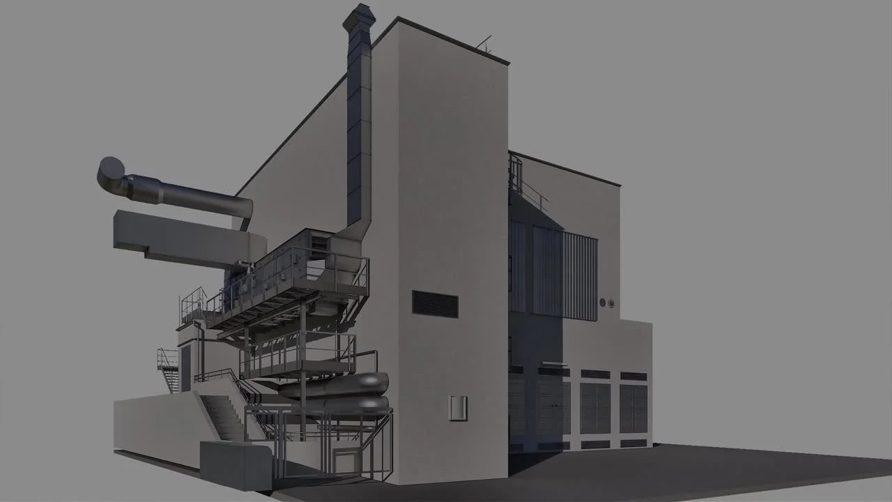
The full Scan-to-BIM pipeline on a working factory in Salzburg: field capture, LixelStudio processing, Revit modelling to LOD 400, alignment verification and 3D Gaussian Splatting as a second deliverable.

An occupied interior documented in a single handheld walk-through: capture, processing, and deliverables.

Point cloud captured and registered as reference geometry for a modelling team to build against.

A venue captured for a navigable, photoreal 3D Gaussian Splatting walkthrough clients can explore.

Interior and façade reference for a conservation project, captured in a single visit.

A repeatable walk-through that gives the project team a verifiable record of progress over time.

Using built-in RTK between high-rises to deliver a georeferenced point cloud without a survey crew.